|
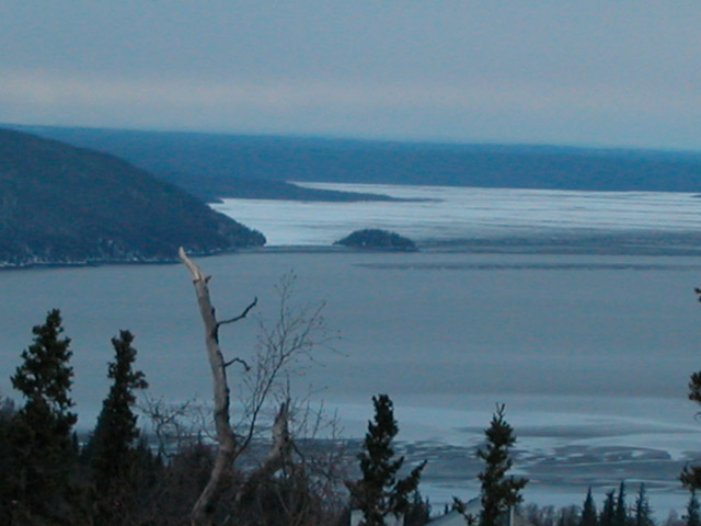
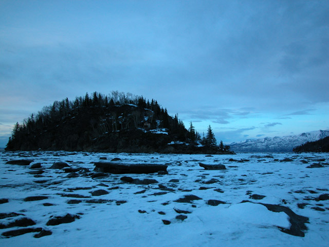
Burnt Island as seen from my deck (telephoto shot). |
 |
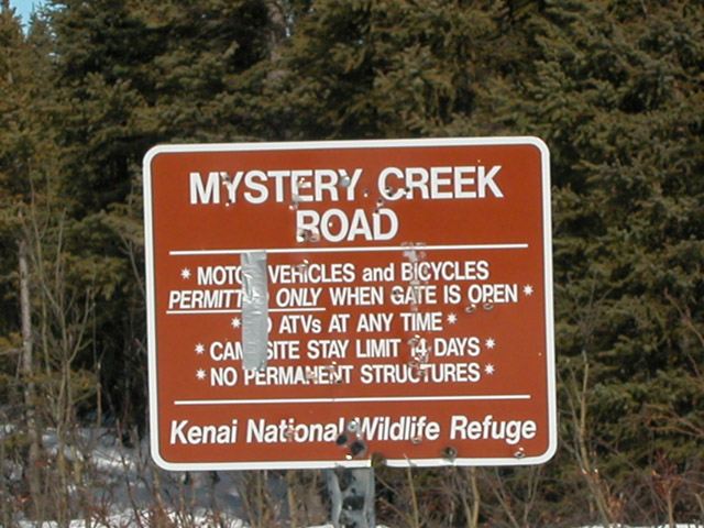
Start of ski trip - Snowmobile trailer parking lot 2 miles
from Mystery Creek Road trailhead. The Mystery Creek Road starts
at mile 64 of the Sterling Highway (between Coopers Landing and
Sterling). From here Burnt Island is about 40 miles to the north. |
 |
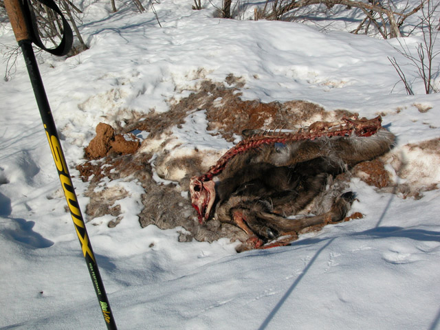
Mystery Creek Road wolf killed moose. At the time of death, the moose's stomach was full
of chewed up willow twigs (that's why the stomach content looks like
sawdust). A day later when I passed by the skull and spine had
been moved - so feeding was still in progress. |
 |
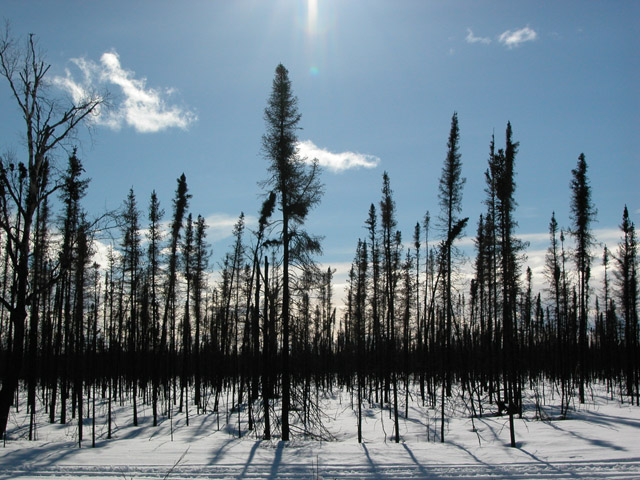
Mystery Creek Road burn area - scorched black spruce
trees. |
 |
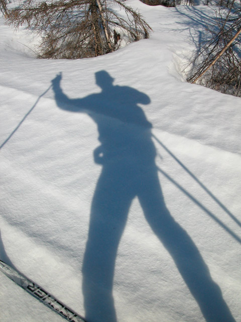
A shadowy guy! |
 |
Mystery Creek - I'm glad I brought my Goretex socks!
In the past hunters have been stranded because of this creek.
Heavy September rains can run this creek up to 5-6 feet deep and 150
feet across. If hunters are north of this creek before it swells -
they are in trouble. |
 |
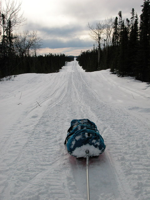
Do you like
your trails long and straight? This is the corridor for the
underground gas pipeline that starts in Kenai and feeds Anchorage.
About 52 miles of this trip was on the pipeline
right-of-way. |
 |
The Big Indian Creek cabin. On Saturday I only
encountered one group of snowmobilers. A group of six went
by. Their tracks told that they turned around here, about 5-6
miles from Burnt Island. There were old snowmobile tracks that
lead on from here. I looked at the log book - a lot of folks use
this cabin during hunting season (Sept-Oct). Last entry was in
January. I didn't see anyone on Sunday - so the total human
interaction time was about 30 seconds - when the group on Saturday went
by. 30 seconds of people in 2 days ... I like it. |
 |
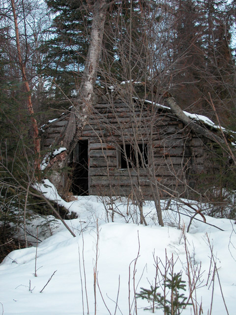
Old cabin near Little Indian Creek. |
 |
Tidal flats in front of Burnt Island. If you look
closely you can see the cabin on the island. And a redwood water
collection tank above it. The cabin is in rotten shape after 40
years of abuse by the high Turnagain winds and rain that batter this
piece of rock. What is unbelievable is that the owner of this
remote and inhabitable rocky outcrop is asking one million dollars for
this property. But the Kenai Borough appraises this property at
around 10 thousand! So the asking price is 100 times the appraised
price! Hmmm, got a feeling no one is going to go for that price.
Or even close. Cool location. But a logistically challenging
remote property. |
 |
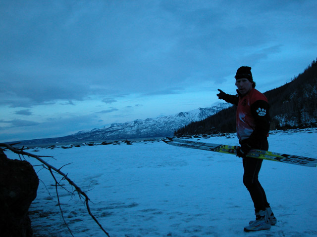
Standing 10 feet from Burnt Island and pointing to
Anchorage. From across Turnagain Arm it's
actually hard to tell that there is a city of 1/4 million 8-10 miles
away. But when the sun goes down and the lights come on ... that's
when you really know you're close to Anchorage. Here, right next
to Turnagain Arm, the wind was blowing strong ... as usual. |
 |
Early Sunday morning on the way back. Quite a few
stream crossings like this on the gas pipeline trail. |
 |
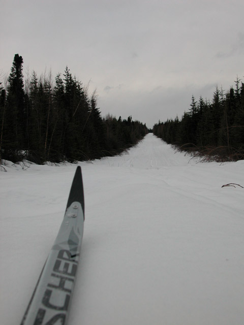
Not as clear on Sunday - but decent skiing for the most
part. |
 |
Near Mystery Creek ... wolf tracks were everywhere. |
 |
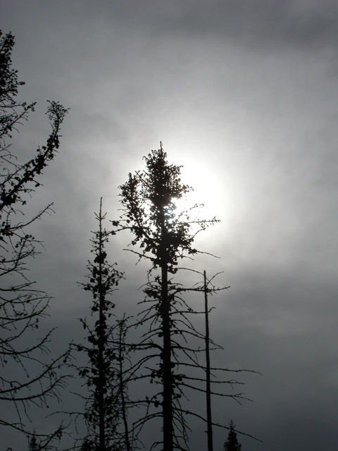
A moody day. But any day you are skiing long and
hard on new trails ... that's a good day! |