|
|
|
|
Home |
|
Intro |
Gear |
About |
Ski Trips: |
2024 |
23 |
22 |
21 |
20 |
19 |
18 |
17 |
16 |
15 |
14 |
13 |
12 |
11 |
10 |
09 |
08 |
07 |
06 |
05 |
04 |
UBXC |
Apps |
eBook |
|
2012/2013
by: Tim Kelley
|
|
|
|
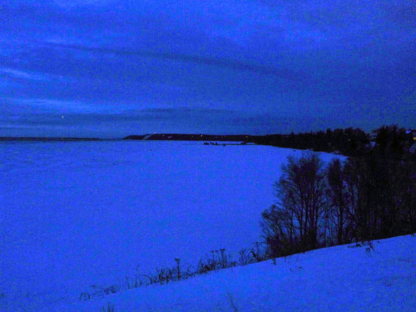
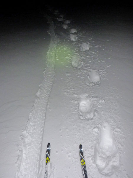
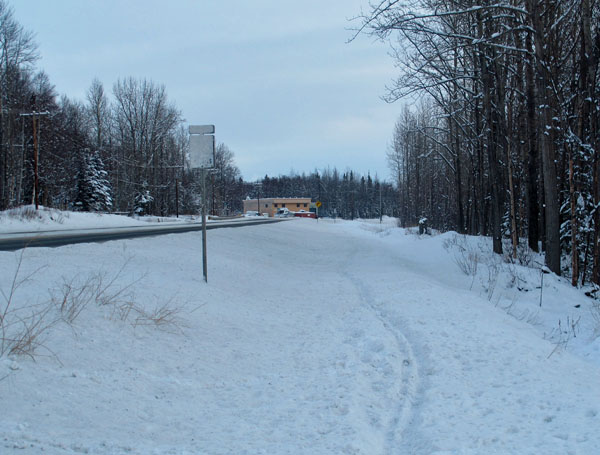
| 20 February 2013:
After Work Urban Backcountry Loop |
|
| 16 February 2013:
A Beaut Butte Loop |
 |
|
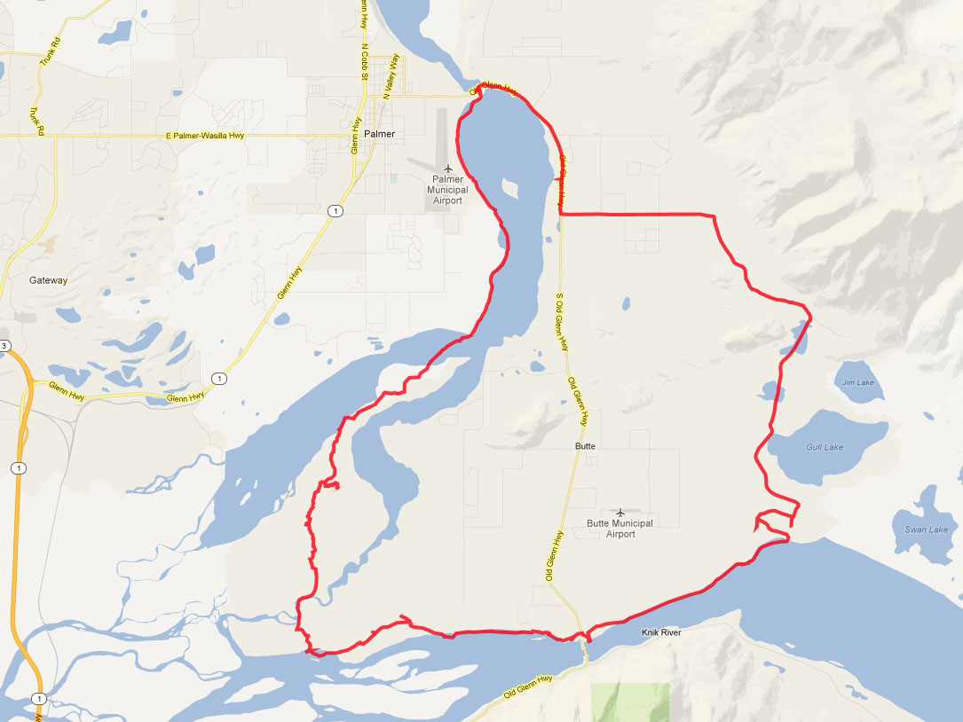
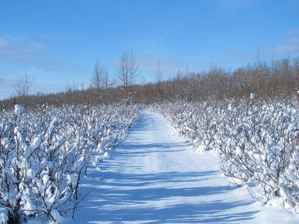
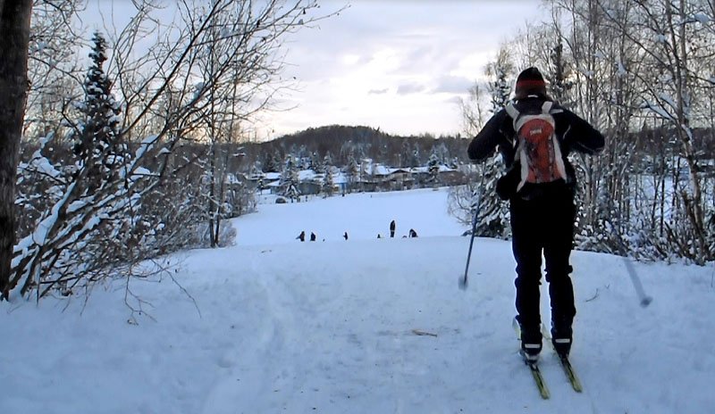
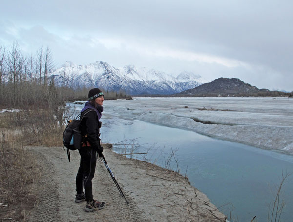
I had been
wanting to do this ski loop for a while. But I had to wait
for over two months this winter for conditions to be right.
Winds can quickly steal the snowcover from this area of the Knik
and Matanuska rivers. And wind has done that here a number
of times this winter. So when several inches of snow fell,
followed by a windless day, I figured it was time to give this
loop a try.
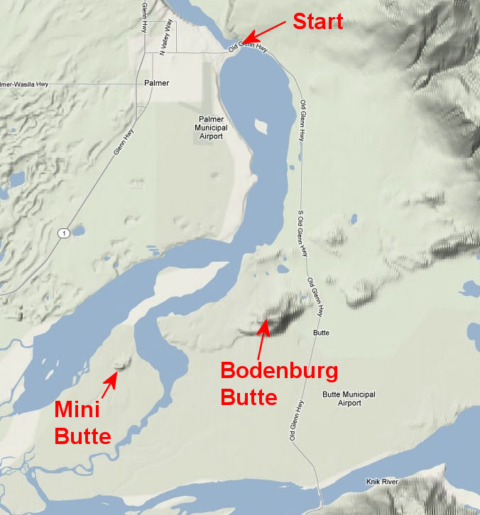
I started and
finished this loop at the Knik River Bridge on the Old Glenn
Highway. I went in a clockwise direction down the Knik
River, up the Matanuska River (with a stop at the "Mini Butte").
From the Matanuska Bridge I took the bike trail to Maud Road,
skied the snowmobile trail along the side of the road to the end of Maud Road,
skied down the snowmobile/truck route
to Mud Lake, skied south to the Knik River (got messed up in
this area a bit - see map) and once on the Knik River floodplain
skied down to the Old Glenn bridge.
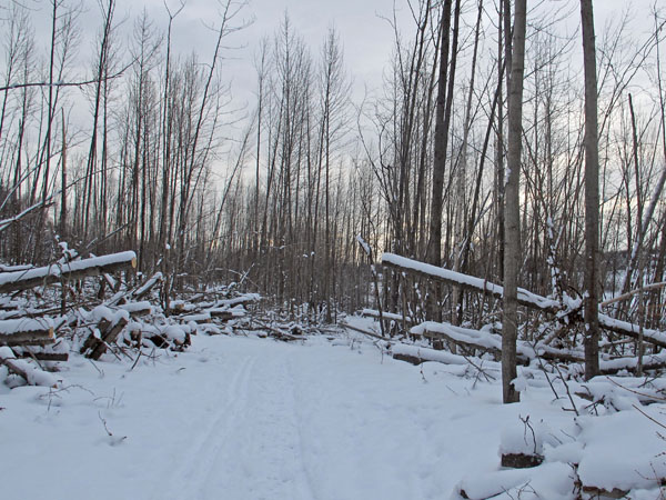
About half of this route required breaking trail. So that
made progress slow at times. 95 percent of the time I
classic skied and two-sticked. Hardly any skating in these
conditions. I saw a number of old ski tracks on this loop.
From this and previous trips to this area - it seems like xc skiing is
pretty big with Butte residents. Overall, this
was a fun loop around Bodenburg Butte - varied trails, some
unique country I had not been to before, nice weather, temps in
the 20's. Also, it's satisfying to see a new ski loop go
from your imagination to reality ... which is something that
always seems to keep me entertained. |
 |
 |
 |
 |
 |
|
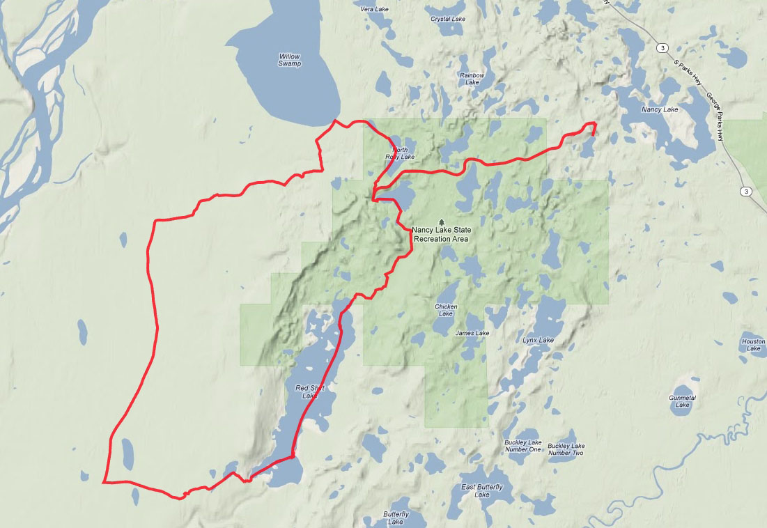
Ski route - 30
miles. |
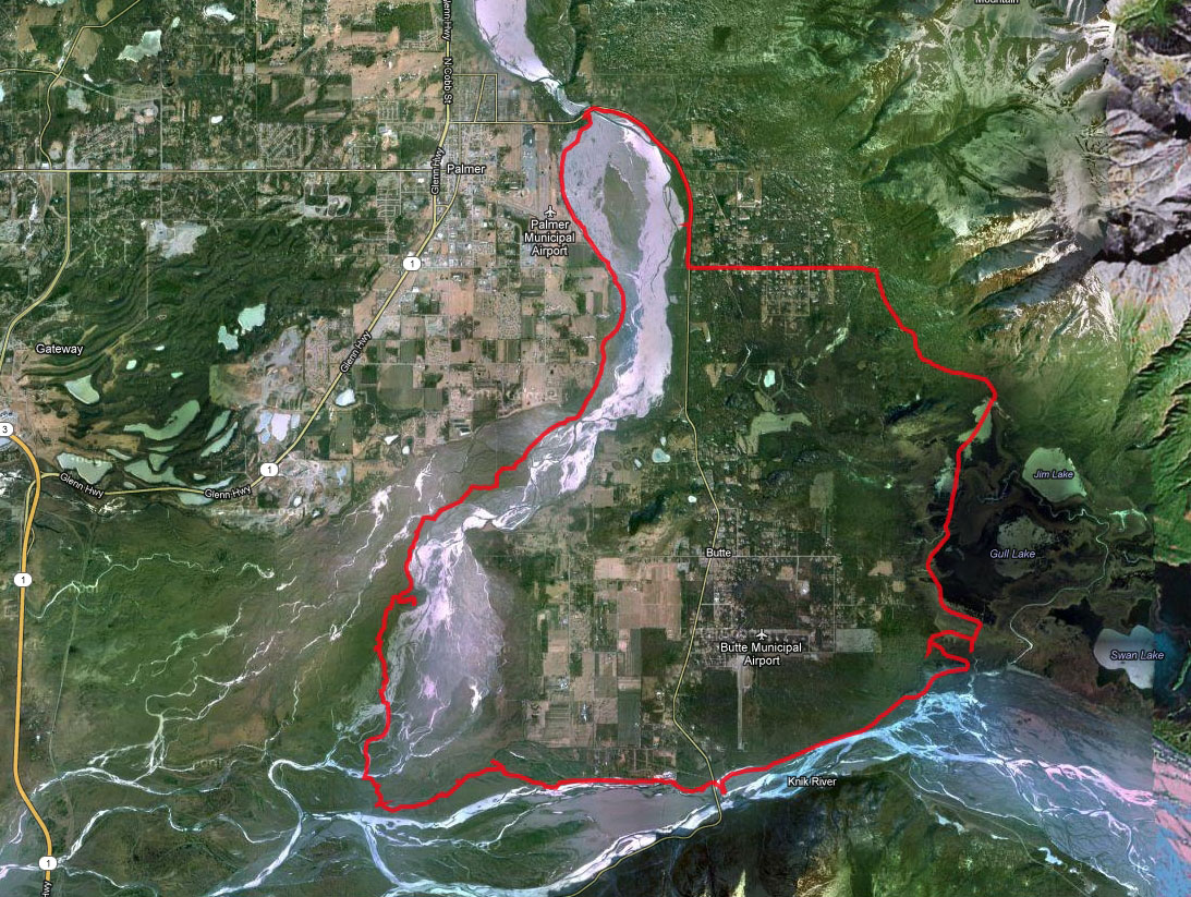
Satellite view of
route, shows river channels. |
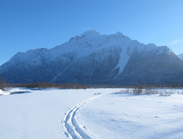
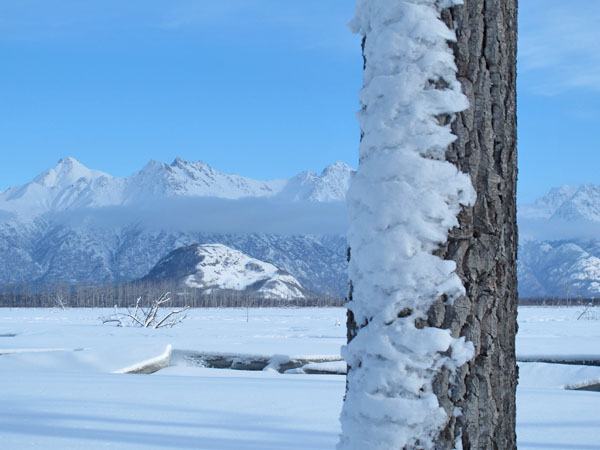
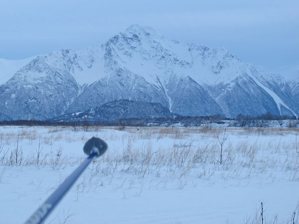
Pioneer Peak. |
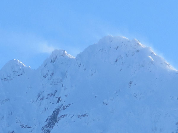
Wind on top of
Pioneer Peak, weather is changing. |
Nice ATV trails
along the Knik River. |
 |
 |
 |
 |
 |
|
I brought Neos
overboots for water crossings. I used them twice. |
View of Bodenburg
Butte from the southwest. |
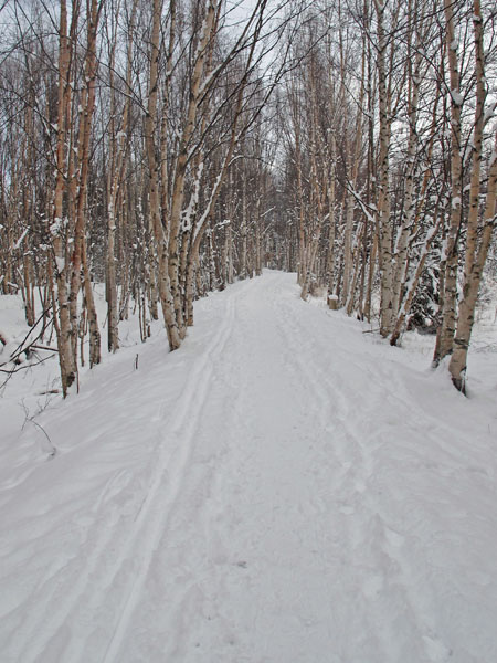
There was some nice
riparian cottonwood skiing. |
Much of the
Mat river floodplain was covered in ice from early season flooding.
This made for good skiing. |
On top of the "Mini
Butte", that I hiked to this year with my wife. |
 |
 |
 |
 |
|
Following
Ranger/Rhino tracks along the Matanuska River. Bodenburg
and Burnt Buttes in the distance. |
The Alaska state
bird - the willow ptarmigan. |
Following snowmobile
tracks towards the Matanuska bridge. Matanuska Peak in the
distance. |
Skiing across the
old Old Glenn Highway bridge over the Matanuska River. |
 |
 |
 |
|
Looking at Bodenburg
Butte and Pioneer Peak from the north. Clouds moving in. |
Following old, and
road grime filled, ski tracks on the Old Glenn Highway bike
trail. |
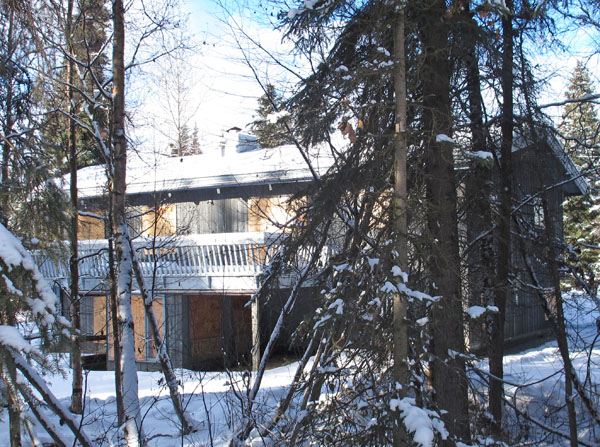
An abandoned house
on the banks of the Matanuska River. A number of houses
here have been "eaten" by the eastward shifting channel of the
Matanuska River. Looks like this house is next. |
|
|
 |
 |
 |
|
|
|
South of Mud Lake,
heading towards the Knik River. |
Following a
snowmobile on the final stretch of the Knik River. |
Open water just
before ending at the Knik River Bridge. Time to break out
the Neos overboots again. |
|
|
|
|
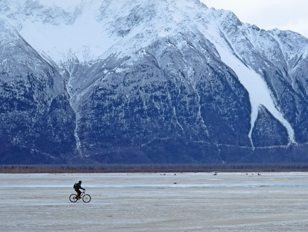
| Early February 2013:
Mid-Anchorage Urban Backcounty Ski Loop |
 |
|
A
side-project of mine over the past few years has been to come up with
new Anchorage Urban Backcountry skiing
loops. These are loops that combine established winter
trails in Anchorage with some backcountry skiing. This loop is
my latest.
I started and
ended this loop at the Huffman Carrs store. Here is a
description of the loop: headed west to the Old Seward
roundabout, railroad tracks to Oceanview Bluff Park, Anchorage
Coastal Refugee to Campbell Creek, across Campbell Lake,
Campbell Creek bike trail to the New Seward Highway, skied under
the bridges, followed bike trail to Lake Otis Parkway, bike
trail to Tour of Anchorage Trail, TOA trail to Service HS,
subdivision and roadside sidewalks to the Abbott Loop/ Elmore
Road intersection, Ruth Arcand Park equestrian trails and backcountry
trails to the Lake Otis softball fields at O'Malley, crossed
O'Malley and Lake Otis and skied undeveloped land south to the Tanglewood Lakes golf course, through the South Anchorage
Assembly school grounds to Huffman Road, and then to Carrs.
If you find
yourself getting bored of the standard cross country skiing
options in Anchorage, then maybe it's time you gave the dark side of
Anchorage xc skiing a try. |
 |
 |
 |
 |
 |
|
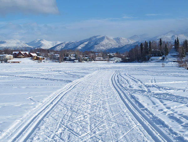
Ski route - 24.9
miles. |
We haven't had
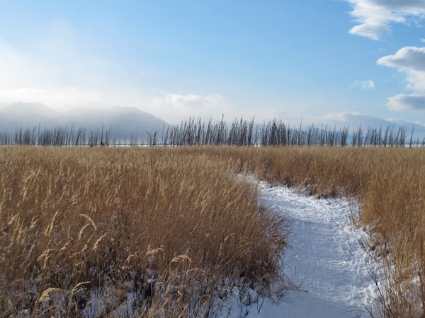
enough snow this year to knock down the grasses on the coastal
flats. |
Signs of the times.
Many more snow bike tracks than ski tracks. XC skiing is not
cool any more. |
Skate tracks on the
coastal flats, and high winds in Turnagain Arm. |
Kite boarder tracks. |
 |
 |
 |
 |
 |
|
Nice trail on
Campbell Lake. A lakeside resident sets these tracks. |
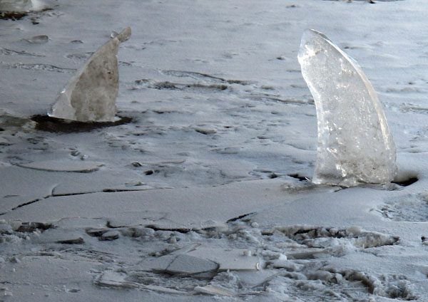
Don't fall through
the ice on Campbell Creek, cuz the ice sharks will getcha! |
Trivia: This
boarded-up house along Campbell Creek housed the NSAA offices in
the 80's. |
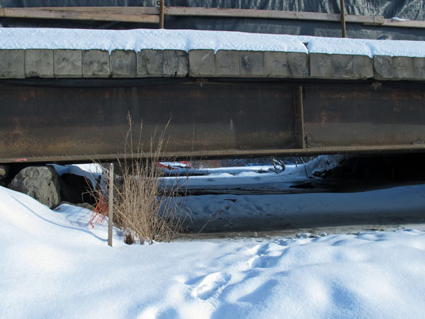
The temporary bridge
for the New Seward Highway doesn't give you much clearance. |
My first time skiing
on groomed equestrian trails. |
|
|
 |
 |
|
|
|
Skiing besides the
O'Malley Golf Course fence. I've heard that some people
jump the fence and crust ski on this golf course, even though
they are not supposed to. I find such behavior shocking!
Just shocking! ;-) |
Nearing the end of
the loop. You never know what you will find in the woods
of Anchorage, Alaska. |
|
|
|
|
| 03 February 2013:
Winter In Willow, Finally |
|
| 26 January 2013:
Palmer Creek Road |
|
Skiing the
Palmer Creek Road, south of Hope, had been on my list of "places
to ski that I have never skied at before". Though I had
never skied this road, I had driven it quite a few times,
and I had even mountain bike raced it once. And, I was
skiing at the head of this valley last summer.
In the winter this
road is not plowed and it becomes a snowmobile trail. There
had been snowmobiles on this road earlier this year, and they
made a good trail. But recently snowmobiling on this road,
and in this valley,
was cancelled due to low snow conditions. So I guess I lucked out
-
because I had a nice trail, and the Palmer Creek Valley all to
myself, on this clear and cold day. |
 |
 |
 |
|
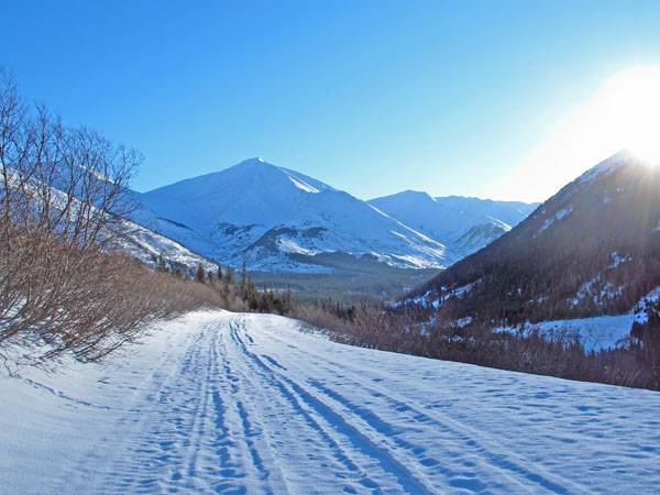
The route - approx
20 miles out and back on the Palmer Creek Road. |
Nearing the top of
the long climb at the start of this ski. The Resurrection Valley is in the
distance. |
Past the big climb,
heading into the Palmer Creek Valley. |
 |
 |
 |
|
Nearing the
end of the Palmer Creek Road. You can see
wind-driven snow plumes on the ridges. |
Passing by
the Coer D'Alene campground. |
Heading back
down towards Hope. You can see Anchorage in the
distance. |
|
|
|
|
| Mid January 2013:
A Quirky Park Link-Up Loop In East
Anchorage |
|
| 06 January 2013:
A Cool Skiing Destination, Via Plan B |
|
|
|
|
|
|