Home Intro Gear About

Ski Trips:

2024 23 22 21 20 19 18 17 16 15 14 13 12 11 10 09 08 07 06 05 04 UBXC Apps eBook

2012/2013

by: Tim Kelley

Oct - Dec Jan - Feb Mar - Apr May - Jun Summer

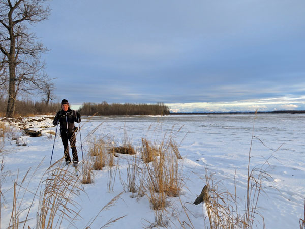
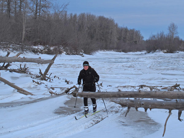
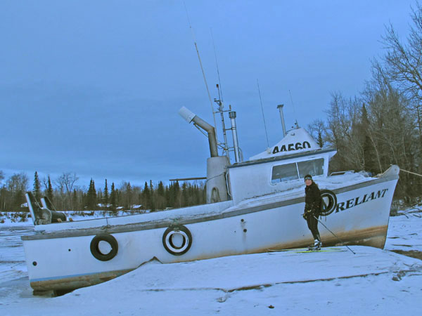
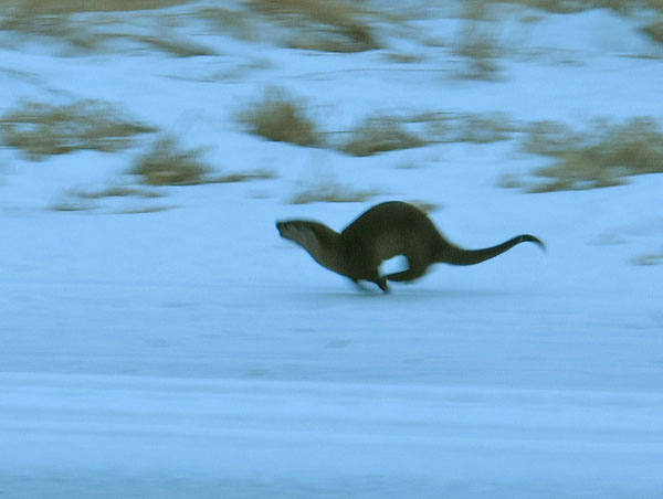
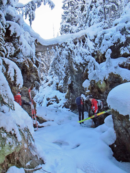
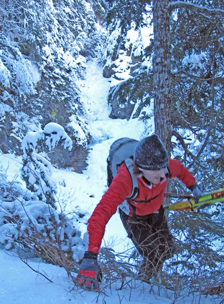
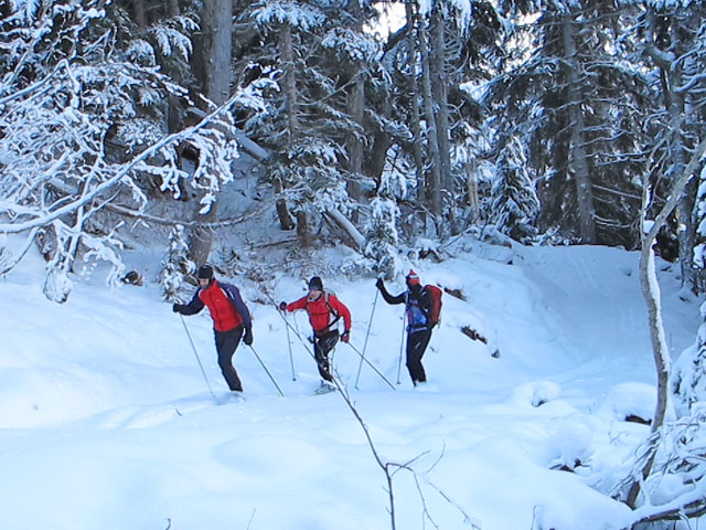
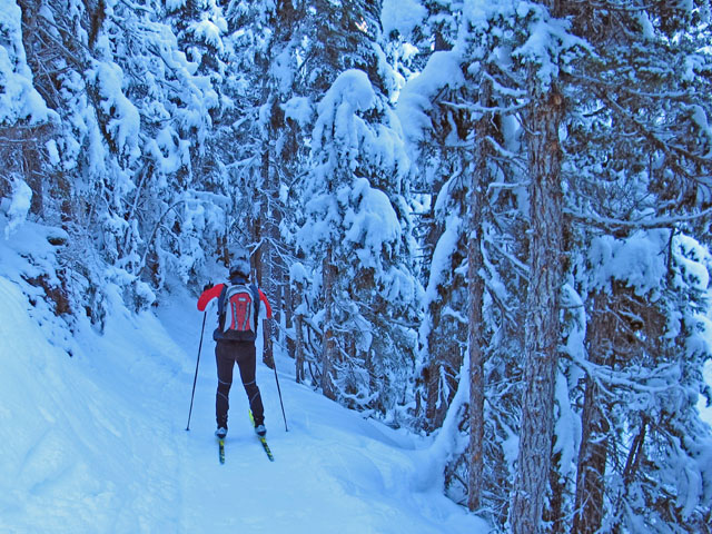
28 December 2012:Searching For Lost Pipelines ... And River Otter Drag Racing

Bell Island is one of my favorite skiing spots.  There are many trails and sloughs to explore, and it is rare that anyone else skis here.  As this area is near the ocean, i.e. Upper Cook Inlet, it is a bit warmer and moister than further inland.  And it's a windy place.  So the snow here usually firms up quickly after snowfalls for good crust skiing or "stay on top" boondocking.

This summer I noticed that an old abandoned natural gas pipeline had been exposed by the powerful and ever-changing main channel of the Big Sustina River.  Recently my wife and I gave a try at finding this pipeline on skis.  I figured to find this pipeline on the shore of Bell Island would be 1) a fun challenge and 2) a chance to get GPS coordinates of this boating hazard to share with other boaters.  We didn't find the pipeline on this trip.  Hope to try again when there is more light, more snow and the ice is safer.

Location of Bell Island. Abandoned gas pipeline in summer.  The Big Susitna River has eaten away Bell Island to expose this old pipeline and make it a boating hazard. On the banks of the main channel of the Big Susitna River.  Looking for the pipeline the river has exposed.  An old gas line cut can be seen in the background.  The pipeline from Beluga has been moved several times on Bell Island to avoid being eaten by the Big Su.  It's a tough task to keep Anchorage's main gas line safe from this powerful glacial river.
Skiing across the wind-ravaged West Channel of the Big Su. It's fun exploring the many sloughs of Bell Island.  My wife would actually get a satellite phone distress call the next day and snowmobile to this same area to rescue a man who's snowmobile went through the ice.  Yeah, she's a hero woman!  (I missed this excitement because I was out skiing) At the mouth of Alexander Creek.
Clear ice all the way to the creek bed. Sand-blasted wolf tracks. Moose tracks filling with drifting sand. River stone stuck in log jam roots.
Often you see river otter tracks while out skiing.  But it is not that frequent you actually see the otters in the winter.  And it's much rarer to have one of these playful and cool little guys run alongside of you for a quarter mile while you are skiing.  Luckily this happened to me recently. Initially the otter was hopping along not far away from me.  The otter would run up the river bank, and then slide down, then run up and slide down.  It was almost like the otter was imitating my skate skiing motions.  After a while I picked up the pace, and so did he/she.  Soon we were racing each other, side by side (see picture above).  You could tell the otter was having fun.  I never imagined that one day I would be sprinting on skis and drag racing a river otter!
 
15 December 2012:The Campbell-Coastal-Chester Loop

A good early-season distance training ski is from Hillside to Kincaid and back.  I figured I'd do this ski, but throw in a Cory Smith inspired twist to it ... and ski the "Anchorage Ski Loop of the Future".  Cory crust skied a mostly off-trail version of this loop last spring.  The loop I'm referring to is a link-up of the Campbell Creek Trail, Campbell Lake, Cook Inlet tidal flats, the Coastal Trail and the Chester Creek Trail.  I call this a "ski loop of the future" because construction is currently underway to upgrade the New Seward Highway Campbell Creek bridges and trail underpasses. Once these new underpasses are complete this loop should become a popular "Urban Backcountry" skiing route.  Reasons for this loop becoming popular are: the distance is moderate (28 miles), most of route is on Municipal groomed trails, eventually the only road crossing will be Lake Otis and the tidal flats stretch usually has skied-in tracks or allows tidal "soak zone" crust skiing.  Plus, there are many good spots to start and end this ski loop.

So when construction is complete on the New Seward Highway bridges that cross Campbell Creek [next fall?] ... put it on your list to "Ski The 3 C's Loop".

Total route is 39 miles, the loop alone is 28 miles. Because the underpass is under construction I had to run across the New Seward Highway.  And I'm still alive! The new bridges (foreground) will offer much more skier-clearance than the old bridges (background). To "escape" from the construction zone presently you have to climb around this barrier on the Campbell Creek bike trail bridge.
A new Potter Drive bridge allows the Campbell Creek Trail to go under it.  No more taking skis off and crossing the road. Campbell Lake usually has tracks set by a local resident. My timing for skiing the Anchorage Coastal Wildlife Refuge leg was not good.  Some of the year's highest tides (34 feet) had been occurring.  Because of this I had to ski right next to the bluffs on a rough surface.  Usually the skiing here is better than shown in these pictures.  So - check the tides before doing this ski.
 
Mid  December 2012:  Far North Bicentennial Park "Outer Loop"
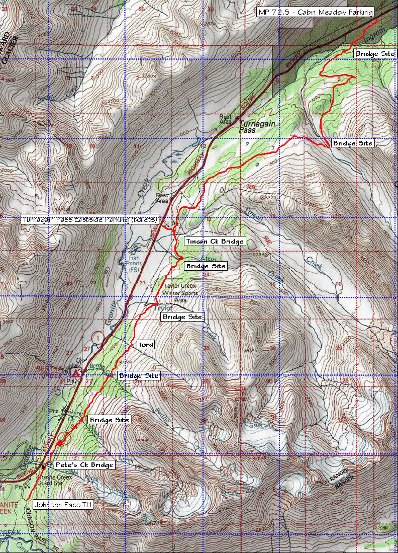
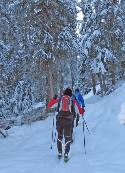
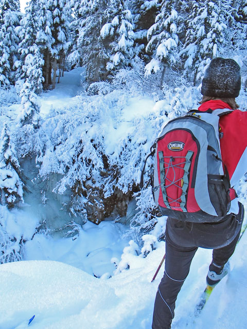
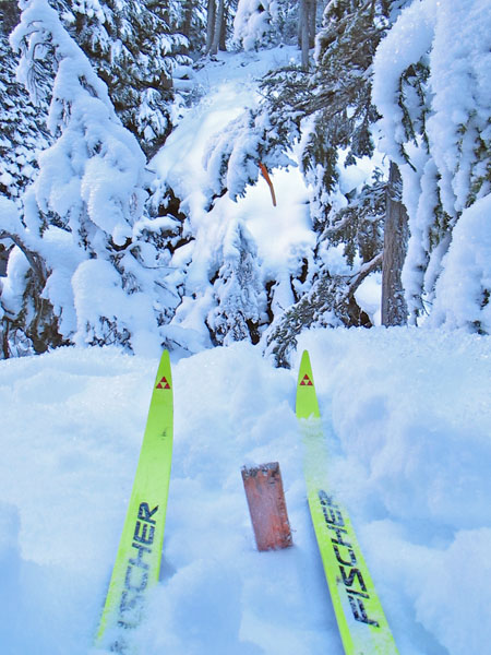
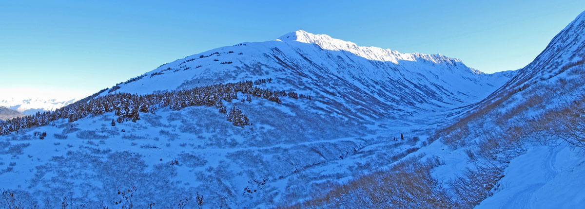
I was in Anchorage on a cold day and looking to do a local ski that I hadn't done before.  So I figured I'd try to link up trails to ski an outer loop around Far North Bicentennial Park (FNBP).  I picked a good time to ski this loop as there was not a lot of snow.  Because of low snow the mushing trails were not in use.  And it was no problem skiing backwards on the Spencer Loop because there were no set tracks (and no skiers).  Also, the sub-zero F cold powder was good for skiing the Single Track Advocates Hillside trails, as the downhills were not too fast.  Fun time with skinny skis on (mostly) skinny trails.

This was about an 18 mile loop.  The loop can be a little shorter if you follow the yellow line marked on the maps below.  Here is the route I took: Hillside Abbot parking lot - STA trails to the gasline and then down to the top of the Spencer Loop - backwards on Spencer Loop to Campbell Creek bridge - Bivouac trailhead - North Gasline Trail to NE corner of park - Tudor power line - mushing trails around the Alaska Botanical Gardens and on to the Tour of Anchorage Trail - Campbel Creek bike trail to the Tozier Track underpass - mushing trails back under Elmore Road and on to the Blue Dot snow bike trail - BLM parking lot - BLM trails - TOA trail - snow bike and community foot trails to Service HS - multi-use trail to Abbot parking lot.

FNBP outer loop - approx. 18 miles. Hillside STA single-track trails. The snow bikers' "Blue Dot" trail. Satellite view of FNBP outer loop.
 
01 December 2012:  Skiing the New Turnagain Pass Iditarod Trail

Recently I found out that the Turnagain Pass section of the Iditarod National Historic Trail was cleared this last summer.  So Tim, Benji, Cory and I went down to ski this 12 mile new trail on a sub-zero first day of December.  We had a good time skiing this trail.  However, we learned that where it says "Bridge Site" on the map (see below) ... it means the bridge is not yet built.  There were two challenging bridge-less gullies in particular that we had to cross - Spokane Creek and Bertha Creek.  Past the gullies we had a lot of trail breaking through cold, hoar-frosted snow to get to Tincan Creek.  From there to Ingram Creek the skiing was good.  And the descent to the "Lower Eddies" parking lot was fun cruising on racing skis down a narrow and winding trail.

For skiers thinking of checking out the Turnagain Pass Iditarod Trail this winter - the section that will most likely have the best trail is the Turnagain Pass Eastside Parking Lot (Tincan Creek) to the Lower Eddies parking lot (MP 72.5).  If you ski the Tincan to Johnson Pass section beware of the Spokane Creek and Bertha Creek gully crossings.  They are a bit tricky.

Thanks to Dante Petri for the heads up about this new trail !!

12 miles from Johnson Pass Trailhead to "Lower Eddies" parking lot.  Note: "Bridge Site" means no bridge. Johnson Pass trailhead.  In Alaska remote parking lots are often paved with copper. Heading north from the Johnson Pass trailhead parking lot.  The grade of the new Iditarod Trail makes for good skiing.
Surprise!  No bridge at Spokane Creek.  You can see the trail on the other side of the gully. Descending into the Spokane Creek gully. Surprise #2!  No bridge at Bertha Creek. Gully groping to get across Bertha Creek.
Benji climbs out of the Bertha Creek gully. The flow of the new trail makes for good skiing terrain. Breaking trail slowly towards Taylor Creek. Nearing Tincan Creek, still breaking trail.
Approaching the Ingram Creek drainage. The new Iditarod Trail goes down into the Ingram Creek drainage and then back out to Lower Eddies.
     
Skiing on xc racing skis down the narrow trail that descends to the Lower Eddies parking lot was a lot of fun.
 
10 November 2012:  Big Lake Snow Blading


Looking for a change of scenery from skiing at Glen Alps - I drove up to Big Lake.  I found 1 inch of unconsolidated snow on top of the ice.  Skiing would not have been good as the snow wasn't bonded to the ice.  But Nordic skating, or in this case "snow blading", worked out fine.  I made it to Flat Lake, which is a neat place.  Quite a lot of people live here off the end of the road.  They have to take boats to their homes in the summer.  So they are happy when they can drive over the ice to their places in the winter.  Here is Flat Lake's website

Besides skiing to Flat Lake and back I checked out Meadow Creek, a place I had never skated or skied before.  The creek was 30 feet wide with lots of meanders ... fun skating.  I almost made it to the road crossing but as I neared some houses a gun shot went off.  From previous experiences I have learned that gun shots are usually a good hint that you should turn around and go back the way you came.

One inch of unconsolidated powder on 8 +/- inches of ice. Newspaper delivery boxes for folks that live off the road system on Flat Lake.  Ice road in the distance.

GPS track: Big Lake out and back plus a side trip to check out Meadow Creek.

Meadow Creek Big Lake cabin with funky foundation design. Have you ever said to yourself: "If only I owned my own barge!"  Well, with a quick call to Big Lake your dream can come true!
27 October 2012:  Strange ...


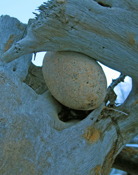
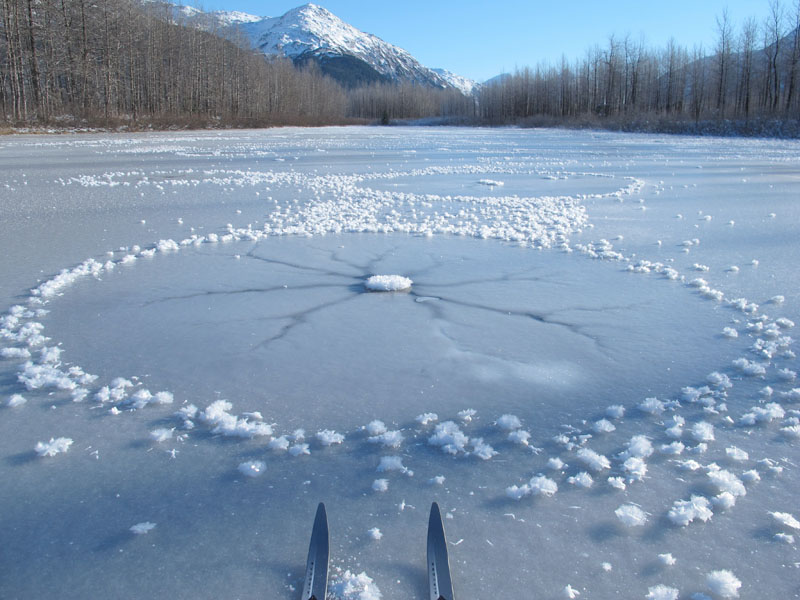
On my first ski of the 12/13 season I took these pictures of a strange frost formation on a pond next to the Portage Valley "Trail of Blue Ice" bike trail.  I believe this would be called a "hoar-frosted lake star".


Blast From The Past


Following my habit of starting yearly ski trip photologs with some "blast from the past" photos ... here are a few shots from skiing the Scroggie Creek Mining Road in 1993.  This stretch of the 1000 mile Yukon Quest Trail was plowed by Yukon gold miners a few days before the sled dog race that year.  As a result - Bob Baker and I, along with all the Yukon Quest dogs and mushers, had to suffer through 60 miles of dirt, rocks, ice and frozen bulldozer tracks.  It wasn't a lot of fun at the time and it was brutal on cross country skis, sled runners and paws alike.  But what the heck ... it made a big adventure even more of an adventure.  Nothing wrong with that.
 
Fun times on the Scroggie Creek Mining Road Only 600 more miles to Fairbanks.  On these skis?!  (They made it.)
Trail groomer, Yukon Quest style. Very happy to be at the end of the mining road with skis that still function.
       

Oct - Dec Jan - Feb Mar - Apr May - Jun Summer
Alaska Backcountry XC Skiing