|
|
|
|
Home |
|
Intro |
Gear |
About |
Trips: |
2026 |
25 |
24 |
23 |
22 |
21 |
20 |
19 |
18 |
17 |
16 |
15 |
14 |
13 |
12 |
11 |
10 |
09 |
08 |
07 |
06 |
05 |
04 |
UBXC |
Apps |
eBook |
|
2015/2016
by: Tim
Kelley
|
|
|
|
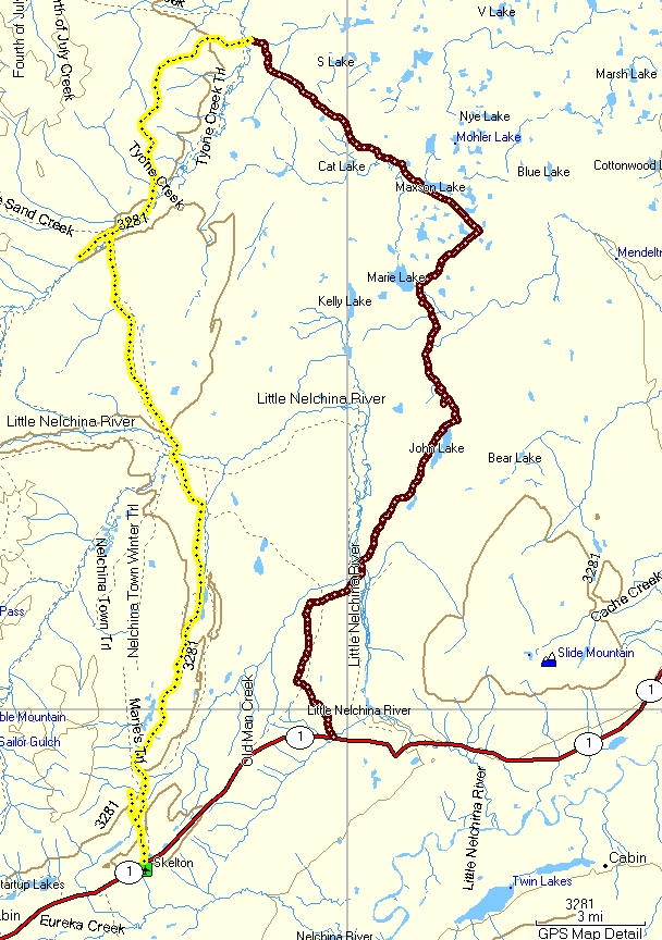
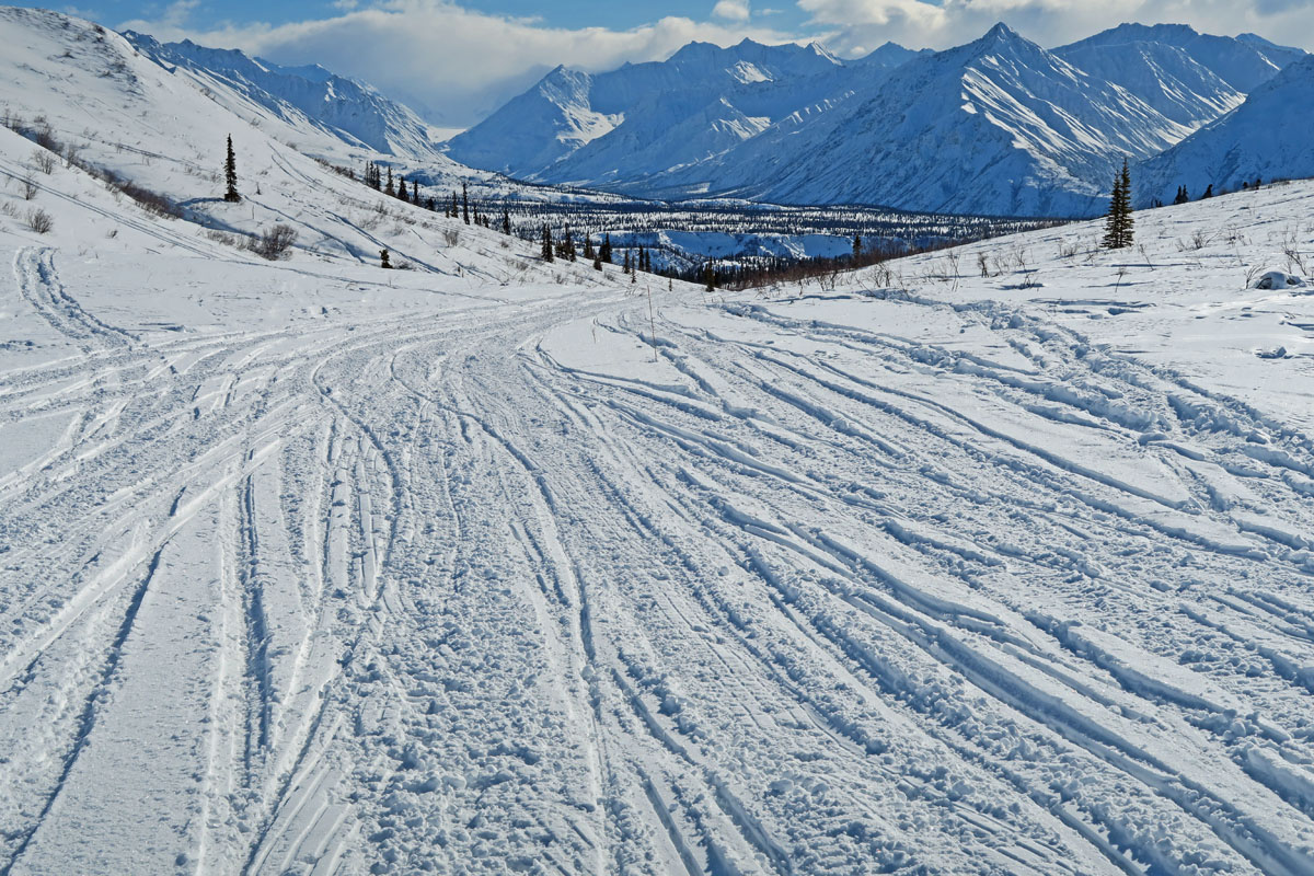
| Mid April 2016:
Crust Skiing the Archangel "Two Lake Tour" |
 |
|
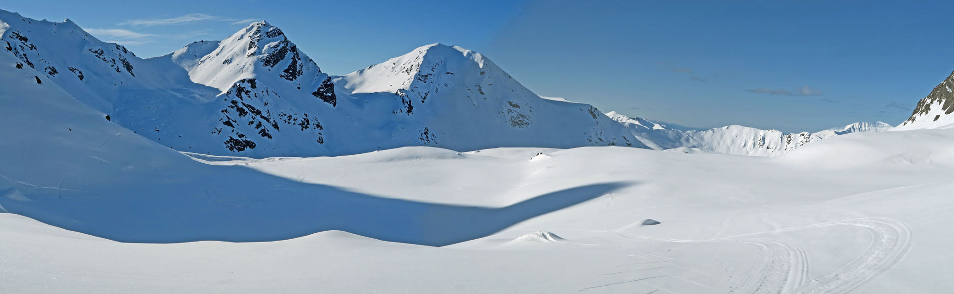
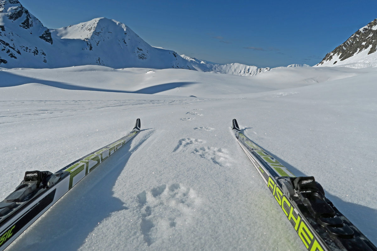
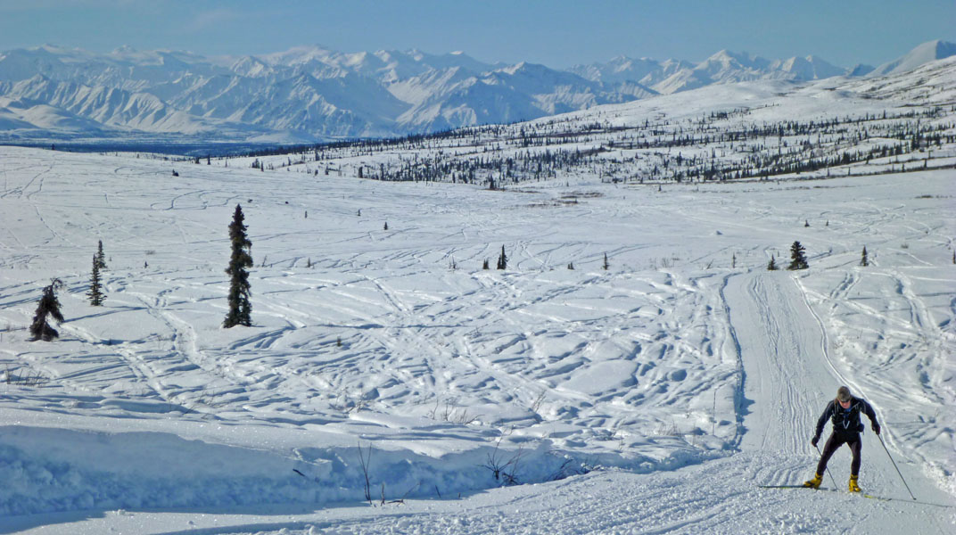
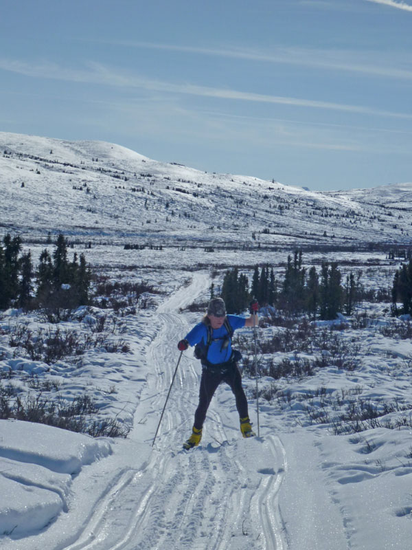
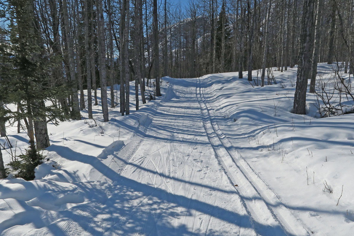
For crust
skiing in the Hatcher Pass area, I figured I'd try a
double-header for something new. I call this the Archangel
Two Lake Tour. Start at the Archangel trailhead, ski up
the Goodhope Creek drainage to the small lake at its headwaters,
ski back down to the Reed Lakes Trail, ski up to Upper Reed Lake
and then back down and out to the trailhead. I think
Goodhope Creek valley is a cool place and I've been there a few
times before. It's wide, safe and has a lot of fun and
ski-able terrain. You can see this from these pictures,
the upper picture is from just above Goodhope Lake (which is
buried under snow). The catch with this double-header is
the 2nd climb, up Reed Lakes Valley. The first 2300' climb
up Goodhope hammers you pretty good. So I found the 2nd
1600' climb up Reed Lakes to be quite brutal. Oh well,
suffering or not ... it's hard to beat a beautiful day of crust
skiing in the Talkeetna Mountains. |
 |
 |
 |
 |
|
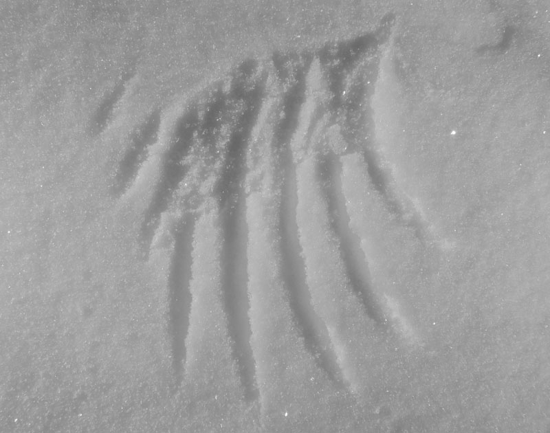
Wolverine tracks
just above Goodhope Lake. |
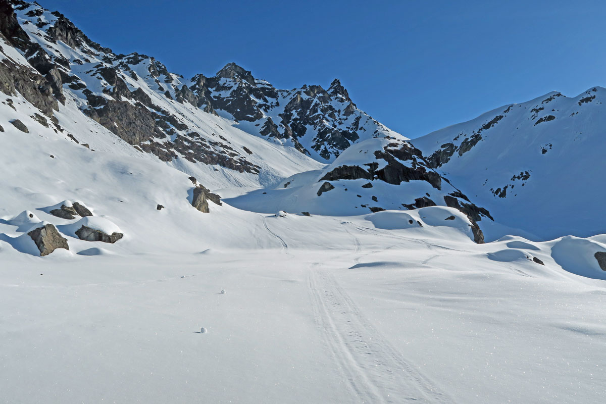
Looking up at the
Goodhope Towers. Valley narrows and gets avy-dangerous. |
Goodhope Creek
valley. Open, lots of safe terrain. Nice crust
skiing venue. |
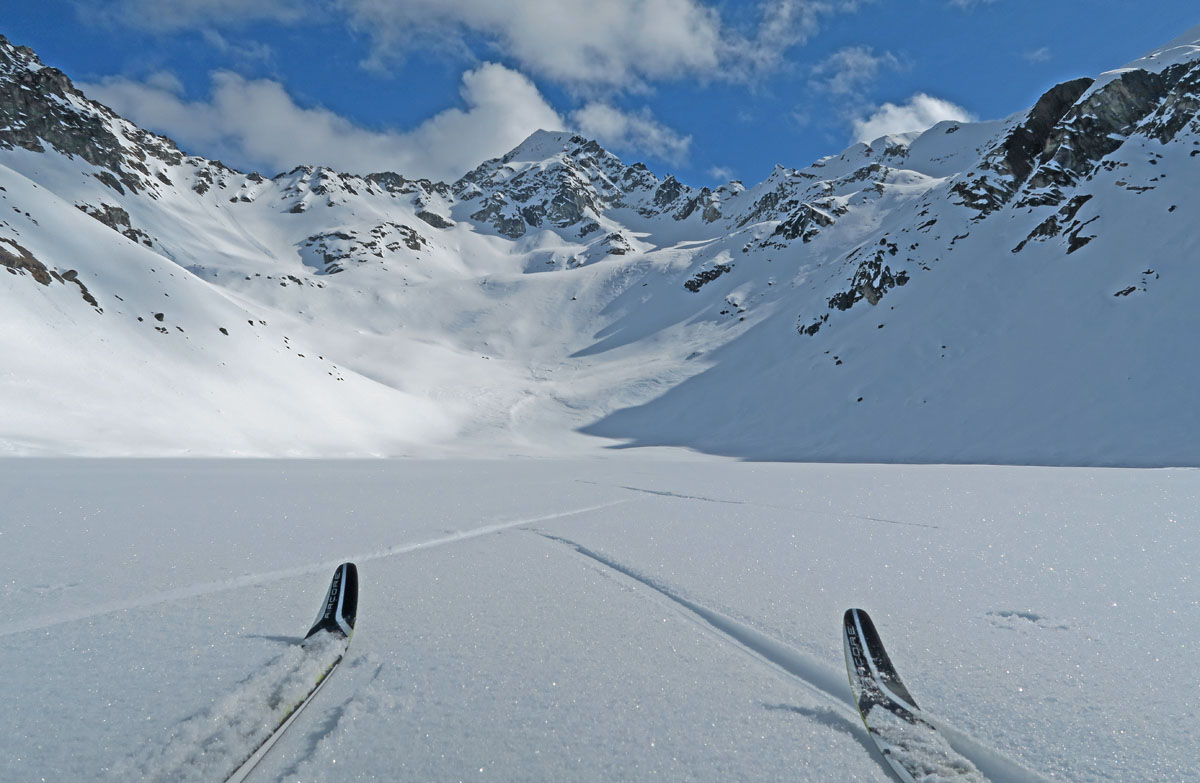
Upper Reed Lake,
Lynx Peak in the distance. |
 |
 |
 |
|
GPS track: 19.2
miles. |
Some big glacial
erratics on the moraines south of Goodhope Lake. Idaho
Peak is the mountain in the distance to the left of the erratic.
It's a fun summer hike to its summit. |
Start: 2077',
Goodhope Lake: 4334', Jct of Snowbird Trail: 2609', Upper Reed
Lake: 4217' |
 |
|
The Motherlode Lodge
recently burned down. But in its place, some swank ski retreats are
popping up! |
|
|
|
|
|
| Late March 2016:
To The Nipple And Back |
|
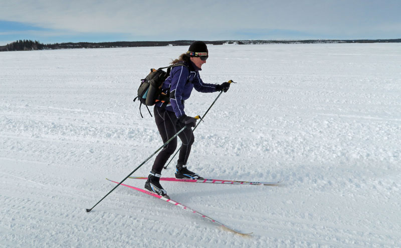
| Late March 2016:
Checking Out Lake Louise Area Local Trails |
|
| Late March 2016:
Eureka West Sufferfest |
|
| Late March 2016:
Eureka Lodge to Sheep Mountain Lodge |
|
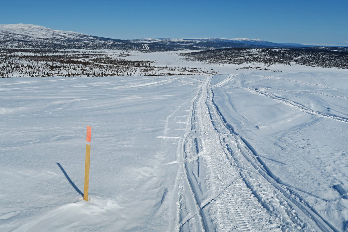
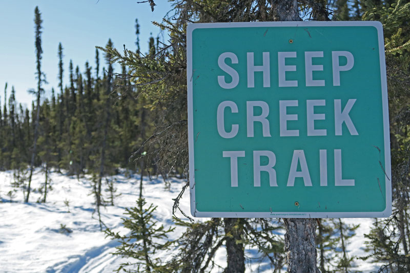
| Mid March 2016:
Sheep Creek Trail ... And A "Trail Bagging" Milestone |
 |
|
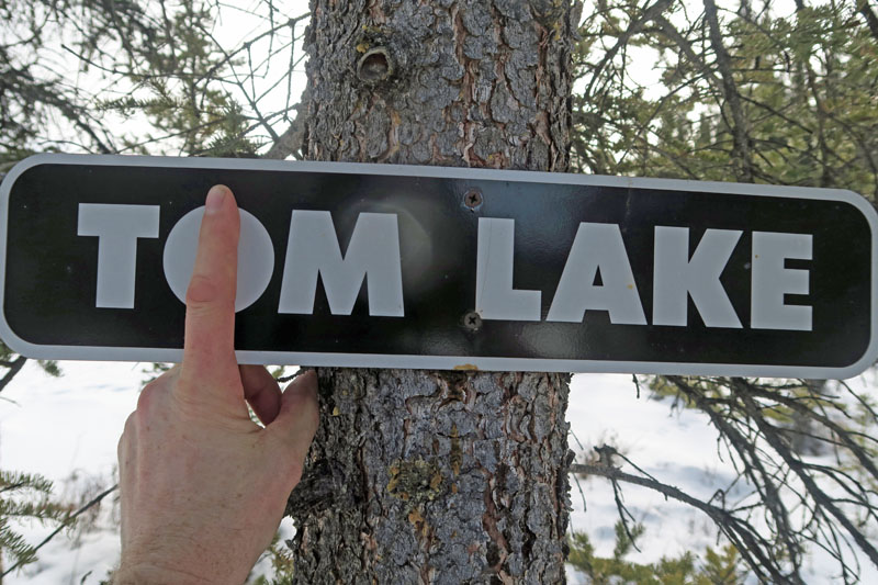
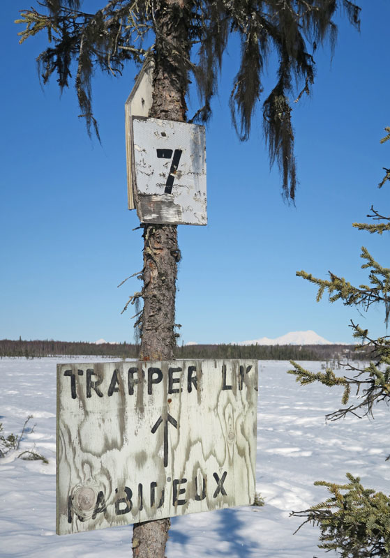
A trail that
had been on my list to ski was the Sheep Creek Trail. This
trail goes from the Sheep Creek Lodge on the Parks Highway to a
shelter cabin on the Rabideux Trail. I stopped in at the
Sheep Creek Lodge to ask about the trail. The lady running
the place said she had been on the trail the day before, but
turned back because of open water. But she said some
Trapper Lake folks had come in on the night before to get
"take-out". Knowing that folks had been across the trail,
I decided to give it a go. I'd later figure out that the
Trapper Lake folks that came for take out were some pretty
hard-core sledders. Or else they were willing to risk
travel on a sketchy trail because the lodge take-out food was so
good. I guess I'll never know.
This trip was
a milestone of sorts for me. It was the last trail I
needed to check off skiing all of the mapped winter trails
in the Matanuska and Susitna Valleys. I've been working on this project
for quite a while (as you can probably tell from this web site).
And its been a lot of miles (which I haven't and probably never
will add up). At this point, I have skied all the trails that
are mapped by: the Curry Ridge Riders, Mid Valley Trail Club,
Willow Trail Committee, Lower Susitna Drainage Association,
Susitna Valley SnowTRAC, Nancy Lake State Recreation Area, Haesller-Norris Trail System, Big Lake
Trails Club, Point Mackenzie Recreation Map and the Mat-Su
Borough Trails Department (which maps trails for areas like Talkeetna,
Montana Creek, Butte, Sutton, Chickaloon and Hatcher Pass).
There are of
course still trails I haven't skied in the Su Valley.
Mostly the remaining ones are unofficial snowmobile routes out
beyond the marked trail systems. I've skied a lot of such trails (as can be seen on this web site). But there
are more to ski. And of course, they are
on my list.
Reflections
on skiing all of the Mat-Su mapped winter trails, and
"trail-bagging"? I'm the type
that doesn't like doing the same thing twice. So being able
to ski places I have never skied before keeps my excitement up
for skiing. "Trail bagging" in the Su Valley is perfect
for me. I'm also the type that doesn't have the patience
to slog in heavy gear up a mountain, just to get in a 5
minute ski run. Being able to skate ski, cover a lot of
ground and see lots of new sights is more fun for me. And
that's what Su Valley trails are all about. Finally, I
don't like being in herds of people. So being able to
spend decades skiing thousands of miles of trails and rarely
every meet another traveler is heaven for me. Just like
with this trip. A beautiful day, great skiing ... and I
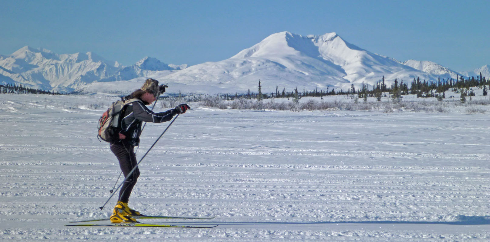
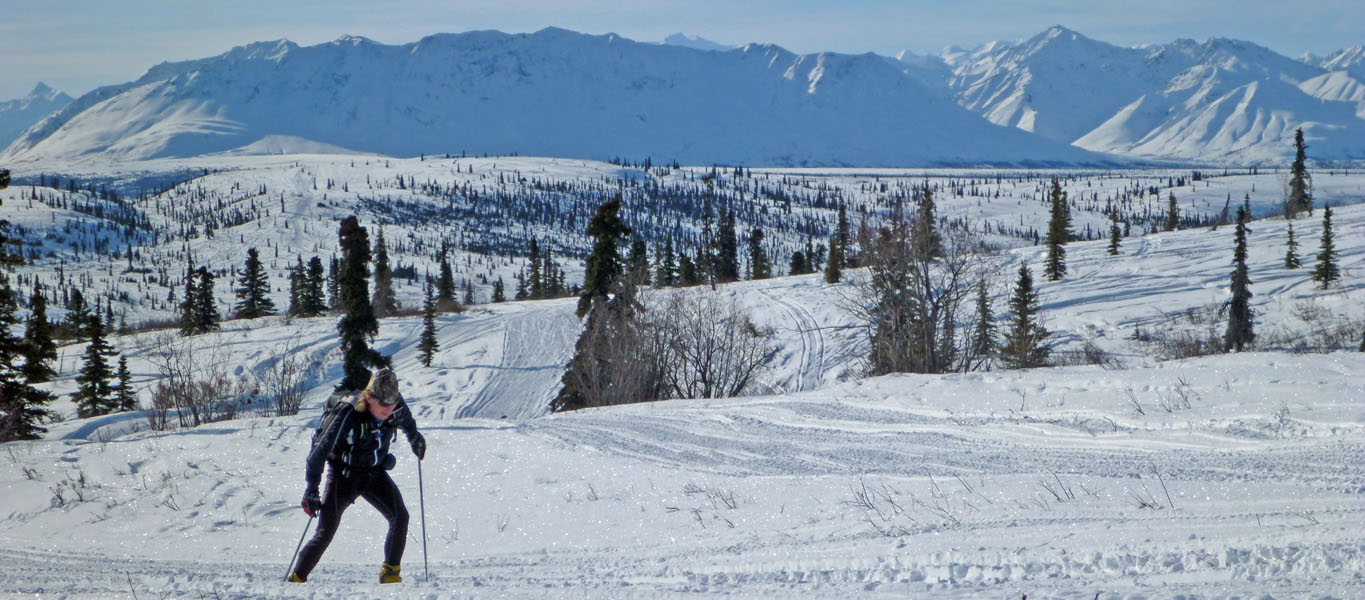
did not see a single person. I love the Susitna Valley.
Always have, always will. |
 |
 |
 |
 |
|
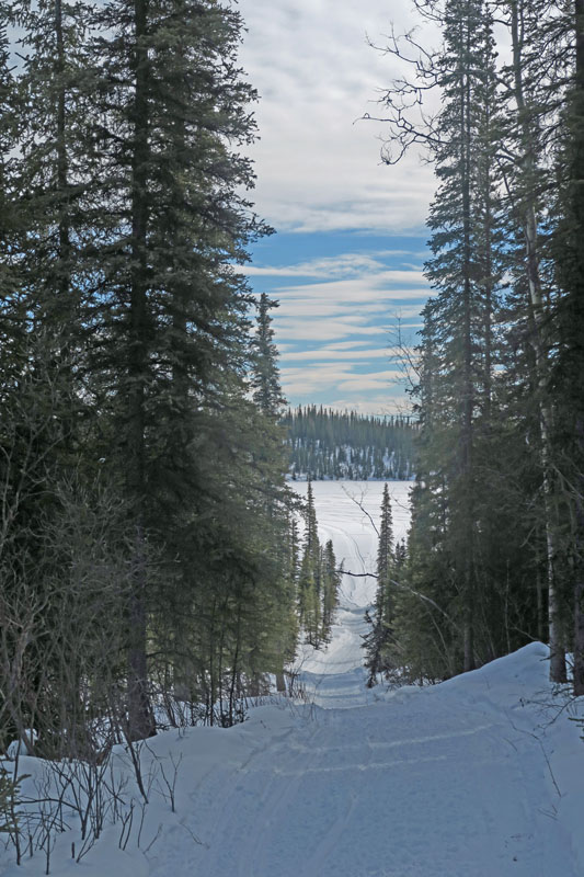
Years ago this trail
was used more than it has been recently. |
Trail goes through a
nice birch forest at the start. |
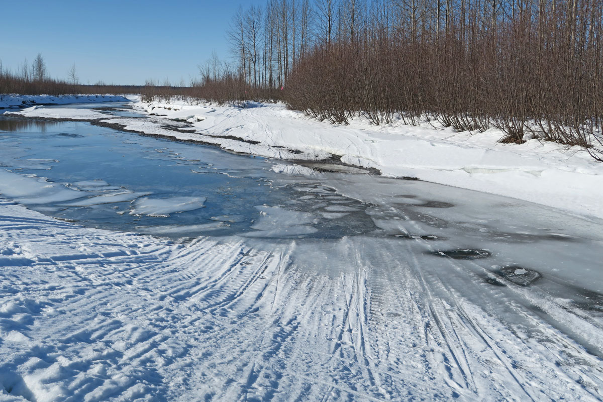
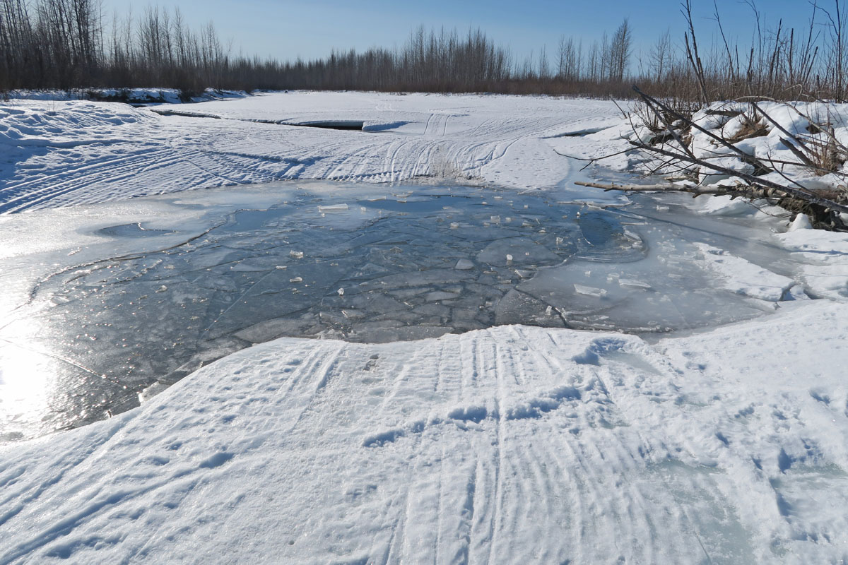
Sketchy ice. I
double poled like crazy person across this. |
Sketchy ice. I
smartened up and skied through the woods to get around this. |
 |
 |
 |
 |
|
Nearing the west
banks of the Big Susitna River. |
Junction with the
Rabideaux Trail. |
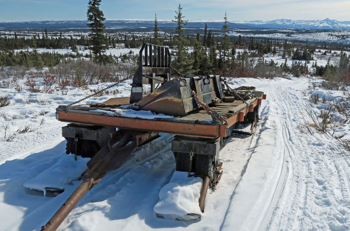
Shelter cabin at
junction. Kinda nasty cabin, but if it saves your life ... |
The last trail I
needed for "trail bagging" all of the Mat-Su mapped trails. |
 |
 |
|
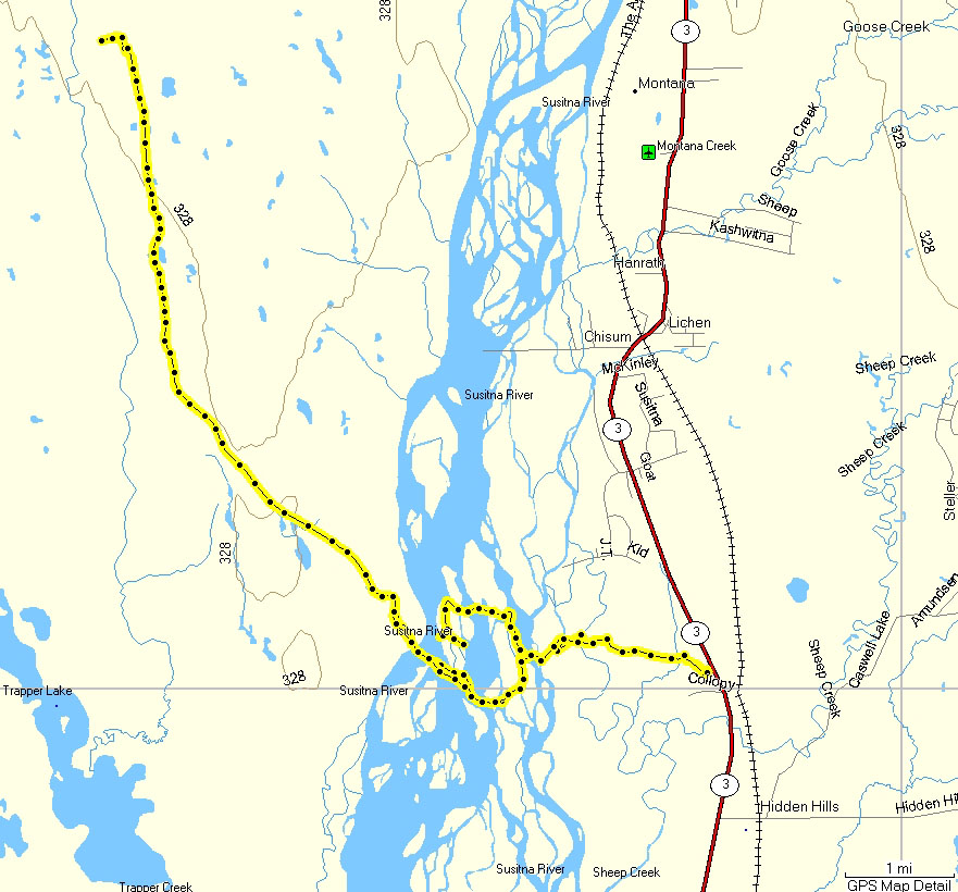
GPS route. I
skied 28 miles this day. |
Here is a GPS track
of the "blind leading the blind". I came in from the east
(right), got to a "Y" and went right. The snowmobilers
whose tracks I was following couldn't find a safe way across the
Big Su. So they backtracked, and so did I. The
takeaway point: sometimes the most traveled trail looks that way
because a group of travelers went out AND back on it. When I realized
it was a dead end .. I started laughing. What the heck.
A beautiful day skiing in a cool and new place ... no problem if
you get in a few bonus miles. |
|
|
|
|
|
|
|
|
|