|
|
|
Home |
|
Intro |
Gear |
About |
Trips: |
2026 |
25 |
24 |
23 |
22 |
21 |
20 |
19 |
18 |
17 |
16 |
15 |
14 |
13 |
12 |
11 |
10 |
09 |
08 |
07 |
06 |
05 |
04 |
UBXC |
Apps |
eBook |
|
2017/2018
by: Tim Kelley
|
|
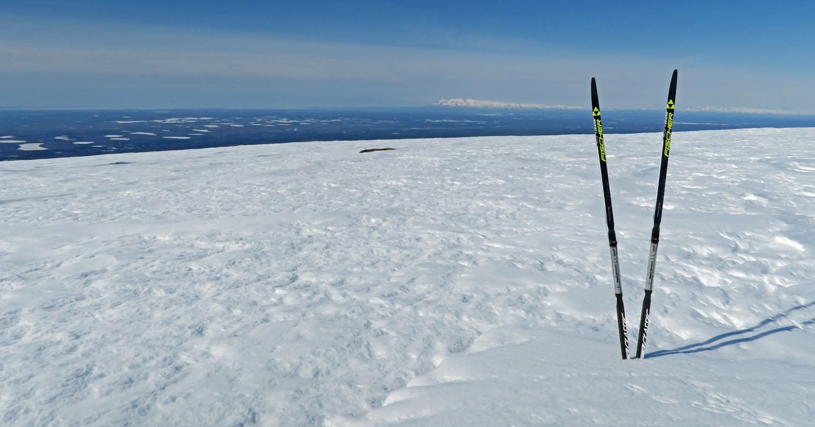
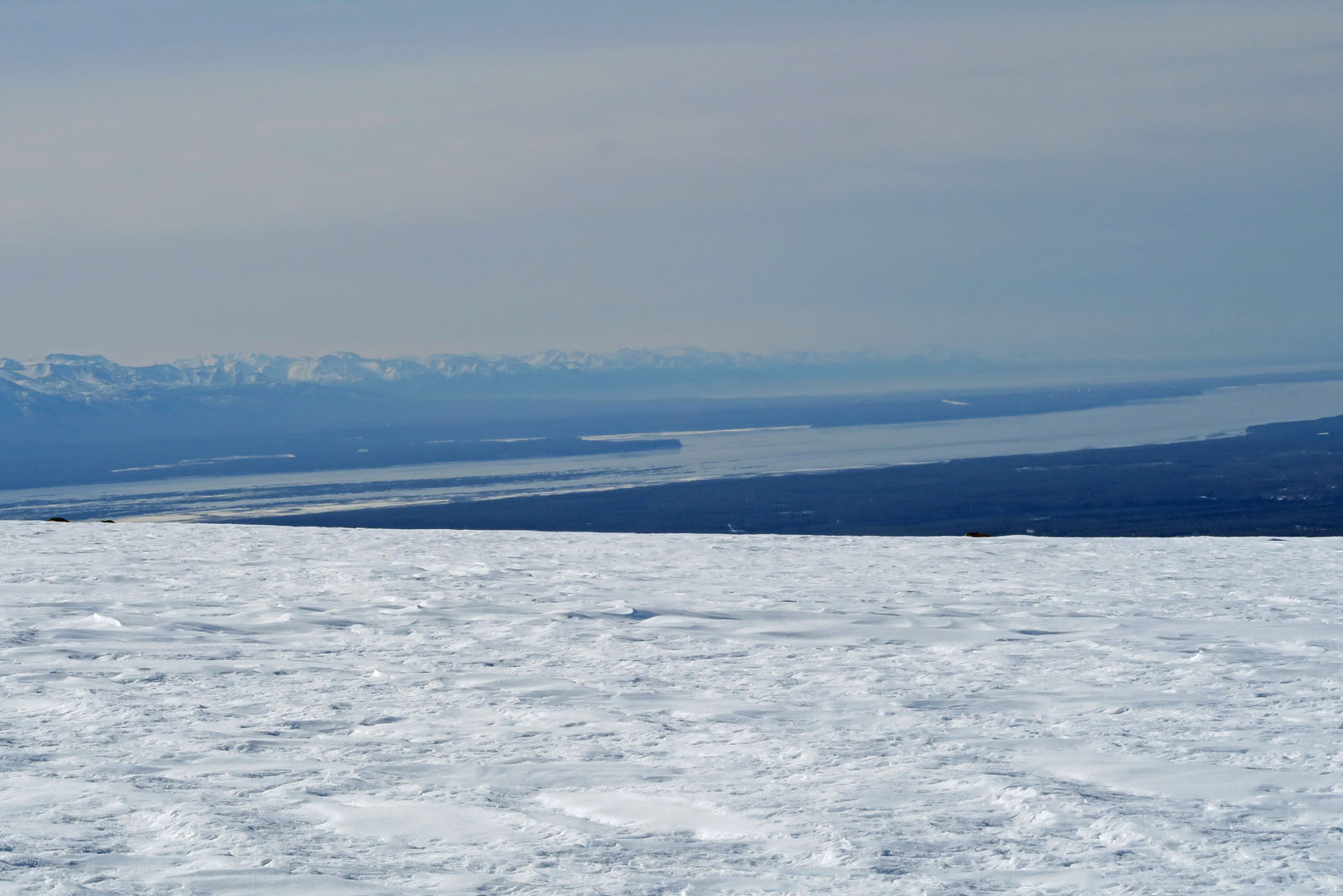
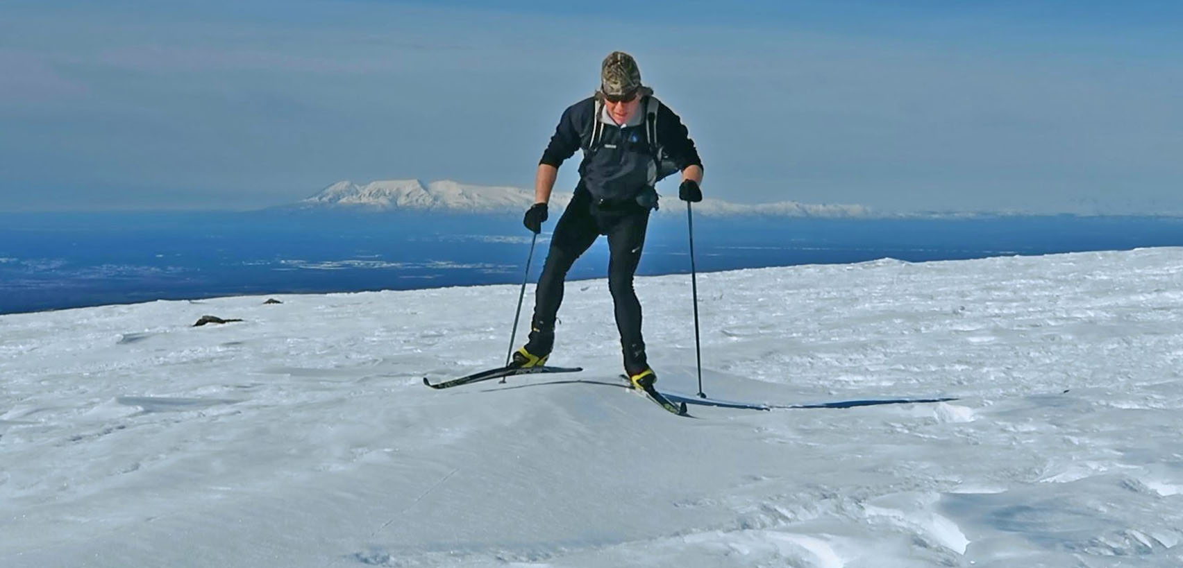
| Mid April 2018:
Shorty Not Short On Crust |
|
| Mid April 2018:
A Secret Crust Skiing Spot No More |
|
| Mid April 2018:
Bald Mountain Ridge Crust Skiing Loop |
|
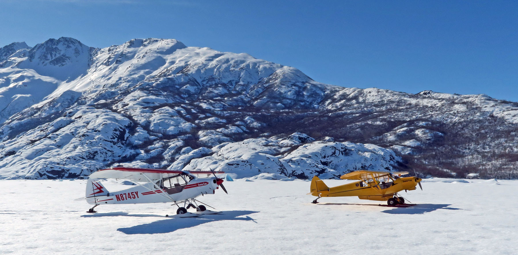
| Early April 2018:
Drop-Off At Kanikula Glacier, Ski To MP 131 Of Parks Highway |
|
| Late March 2018:
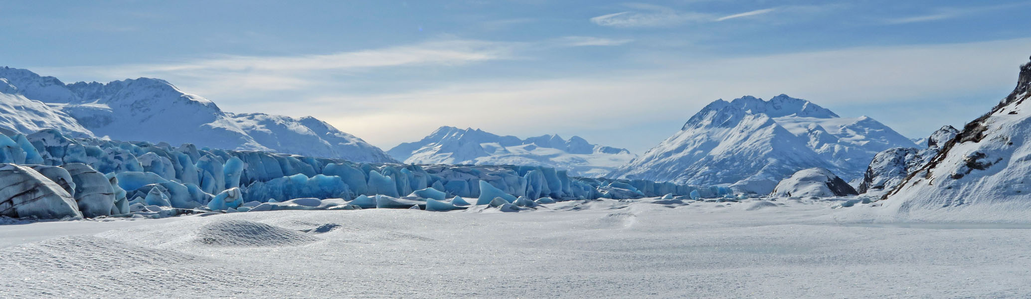
Success On 2nd Try To New Crust Skiing Destination - Colony Glacier |
|
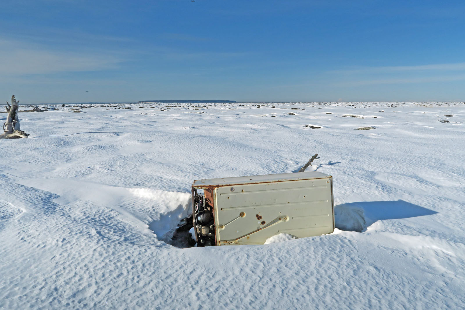
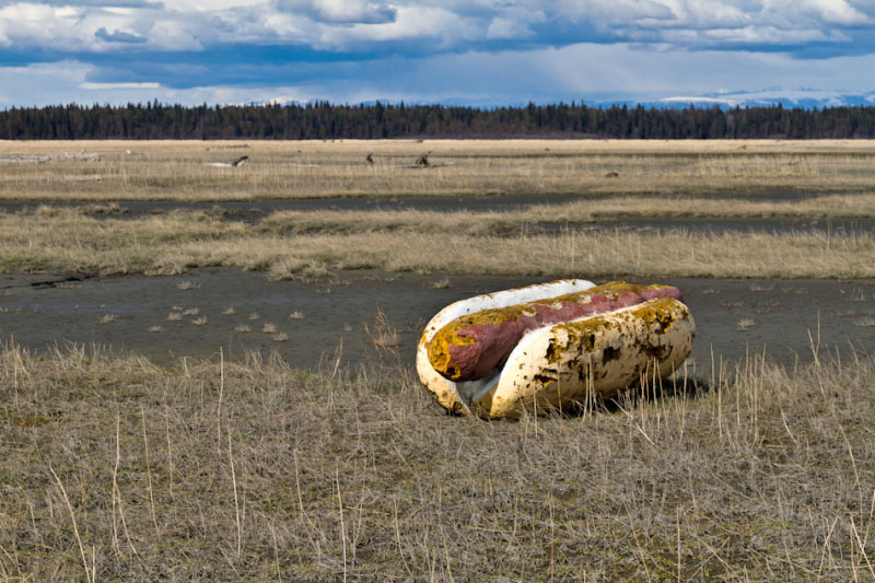
| Late March 2018:
A Vain Search For A Giant Hotdog |
|
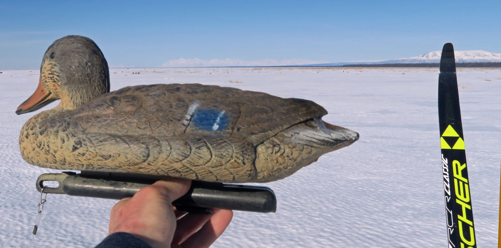
| Late March 2018:
Visit To
A New (For Me) Local Crust Skiing Venue - Eklutna Tidal Flats |
|
| Late March 2018:
Crust Skiing to the Knik Glacier Gorge |
|
| Late March 2018:
Goose Bay Crust Skiing |
|
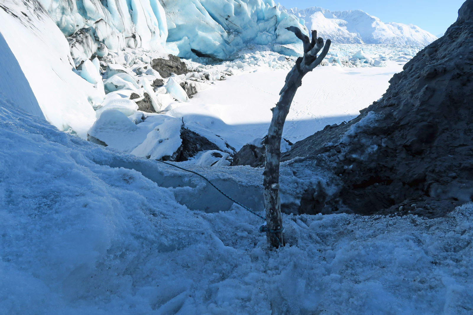
| Late March 2018:
Spencer Glacier's "Social Media Ice Cave" |
|
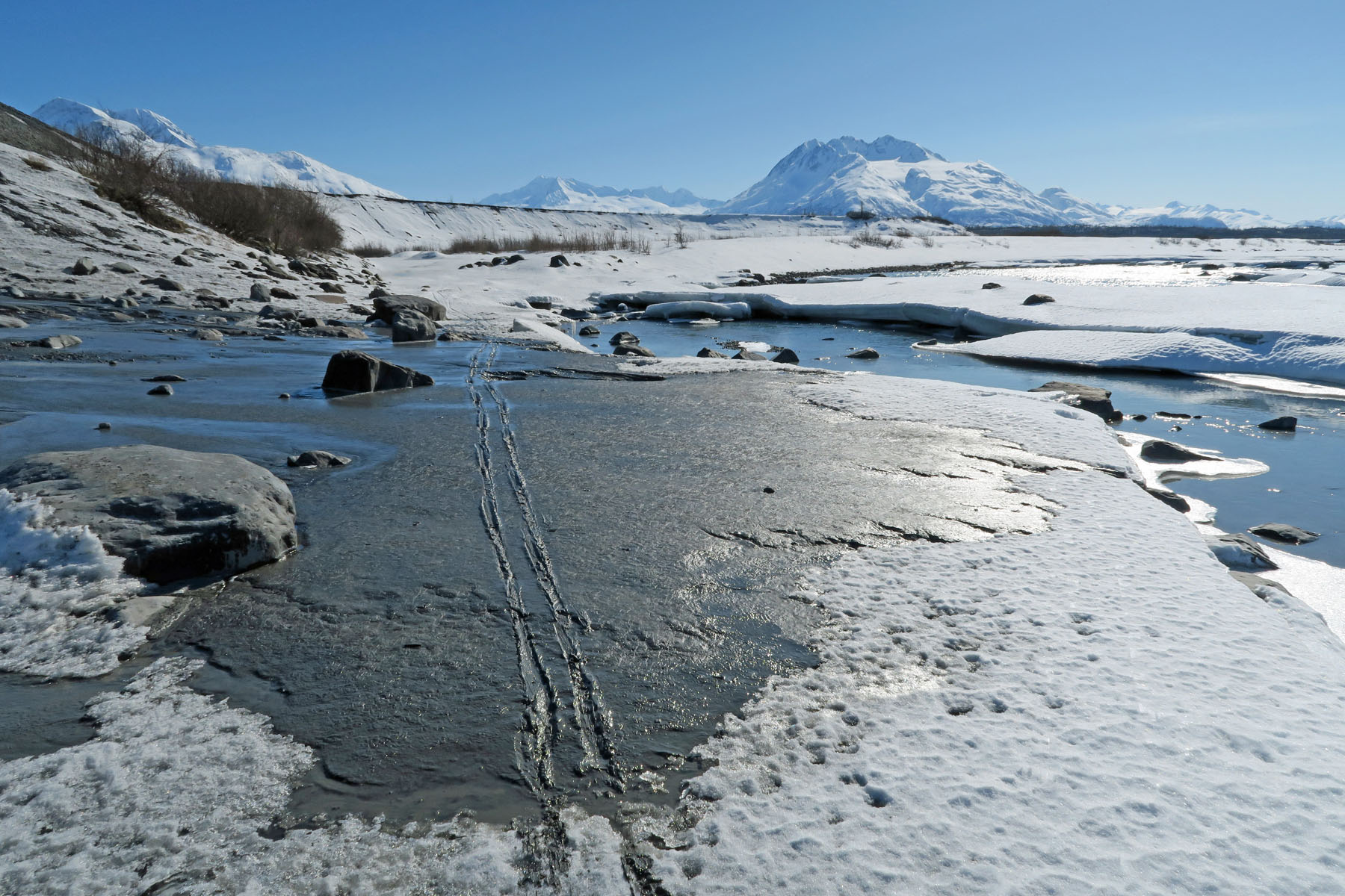
| Late March 2018:
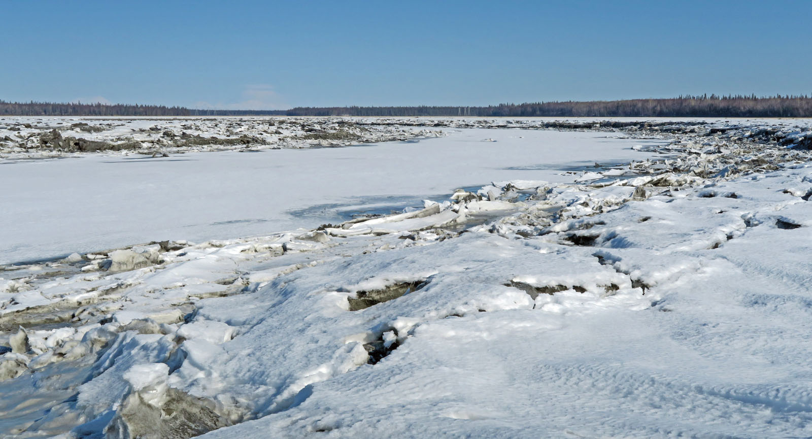
Knik Tidal Flats |
 |
|
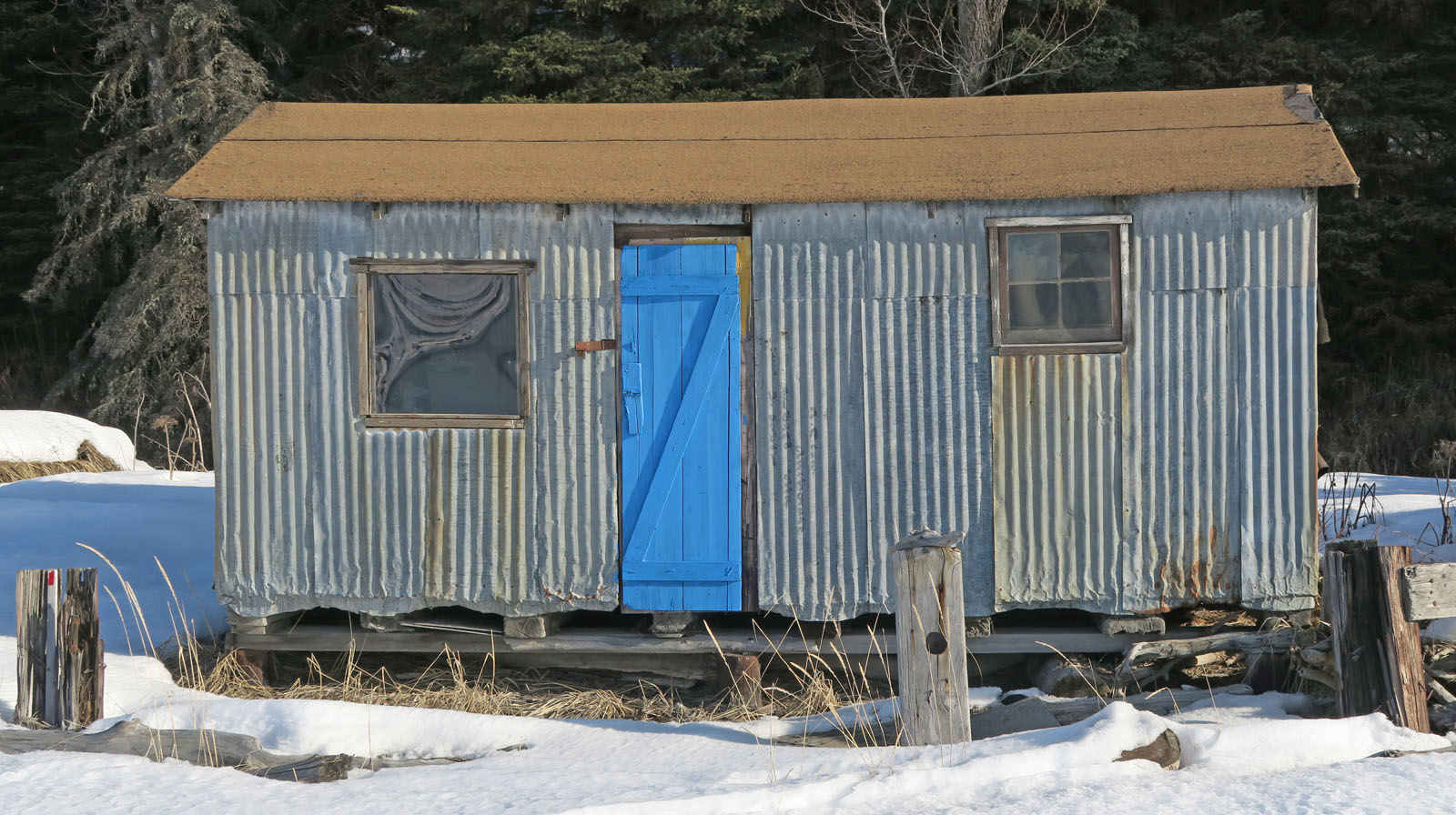
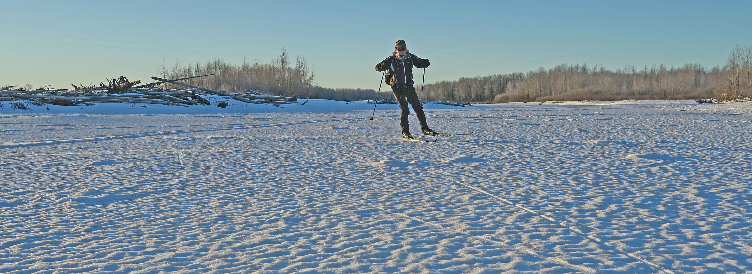
My wife had
never skied the Knik Tidal Flats area. So I took her there
and we found some good crust skiing (on rain crust). If
you want to ski here: drive to the Knik Bar and Grill, ask
inside if you can park there, walk across the road to the trail
that goes down to the flats. The snowmobile trail along
the bluffs may be rough. But if you go out away from the
bluffs a ways, the snow is usually untracked. Like with
all tidal flats crust skiing in Upper Cook Inlet ... be aware of
tides. Extreme high tides will flood the area and usually
trash any good crust skiing. |
 |
 |
|
|
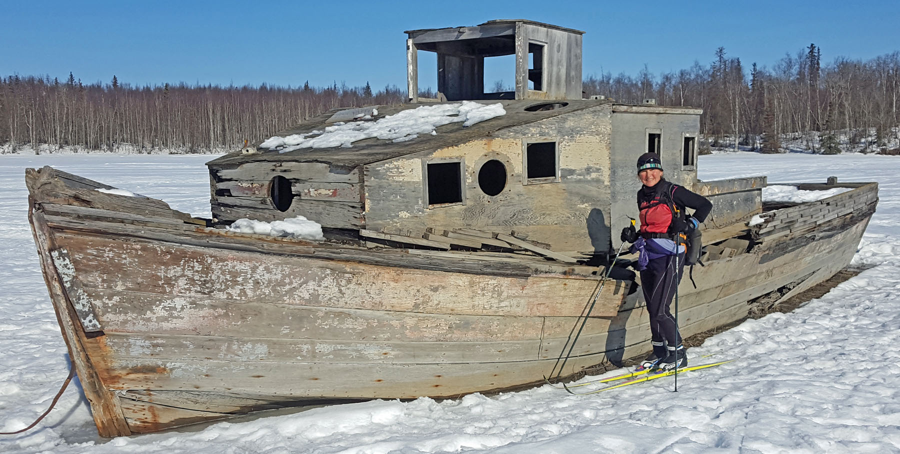
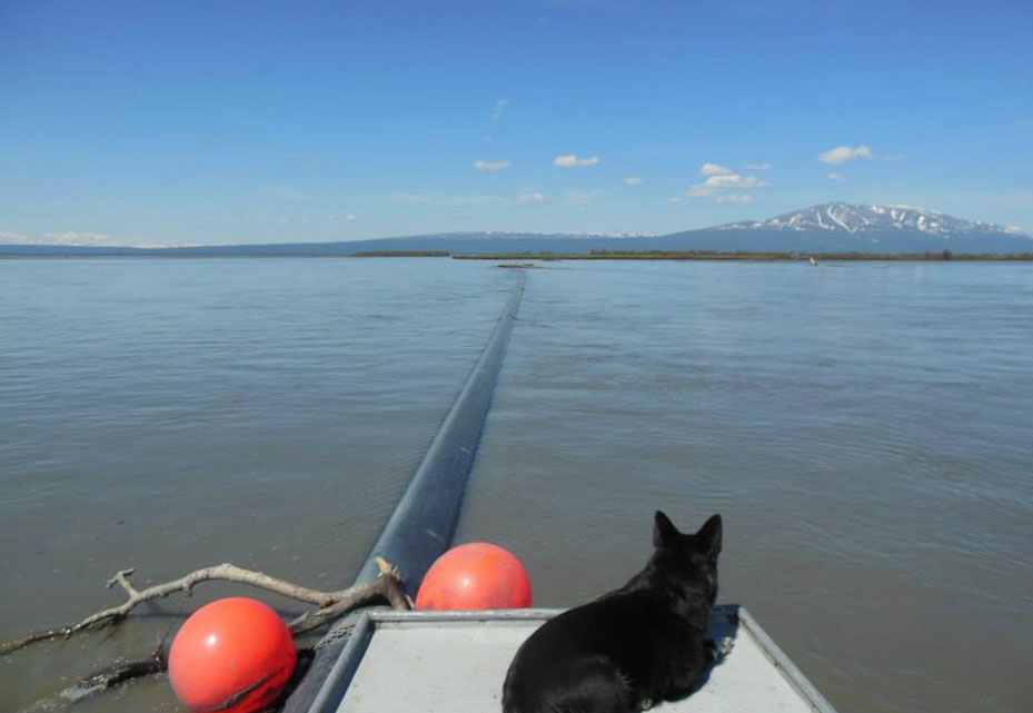
Historical note: Joe
Redington used to pick up salmon from setnet fishermen at the
mouth of the Big Susitna River in this boat, and then deliver
the fish to a cannery in Anchorage. One of the setnet
fisherman Joe would pick fish up from was this woman's father.
This woman would take over running her father's Susitna River
setnet site ... when she was 14. |
|
|
|
| Mid March 2018:
The Birthplace of Runaway Pipelines |
 |
|
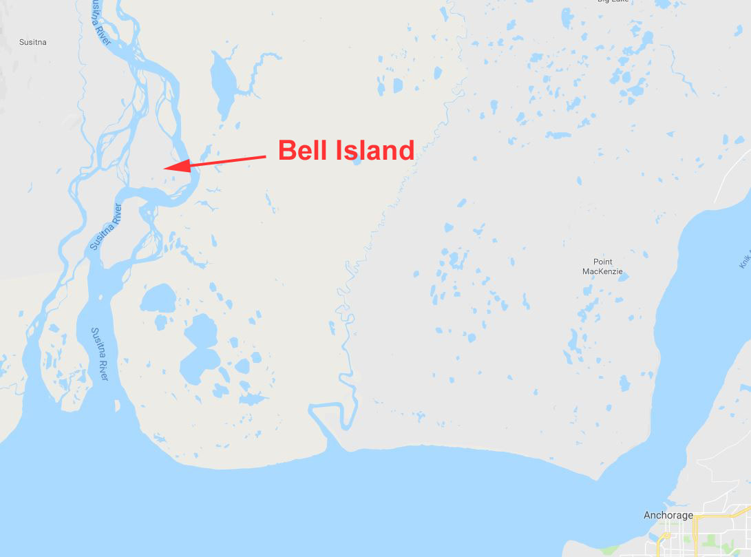
Recently
while skiing across Bell Island I crossed the Middle Channel.
A long time ago the folks used this route to access Alexander
Creek. But since the turn of the century the preferred
trail goes north of here. Back in 2013 there was some
excitement in the Big Susitna River that started here. The
Big Su cut into an old pipeline right of way at the mouth of the
Middle Channel, ripped out a 300 foot section of abandoned gas
pipeline and sent it tumbling down-river towards Cook Inlet.
Other than birthing of runaway pipelines, this is a remote,
quiet and unique place to ski that I try to visit regularly. |
 |
 |
|
You can see the old
pipeline right-of-way cut in the distance. And where the
Big Su ate away Bell Island and birthed an abandoned pipeline
into the river. Will there be more surprise births of
runaway pipelines here? Time will tell. |
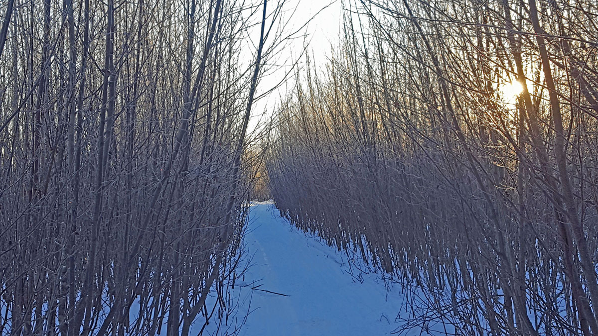
Bell Island
snowmobile trail through cottonwoods on the bank of the Big
Susitna River. |
|
 |
 |
 |
|
The runaway
pipeline in 2013 (photo credit: Mike Mason). More
pictures
here. |
Middle
Channel of Bell Island. |
Location of
the Middle Channel of Bell Island. |
|
|
|
|
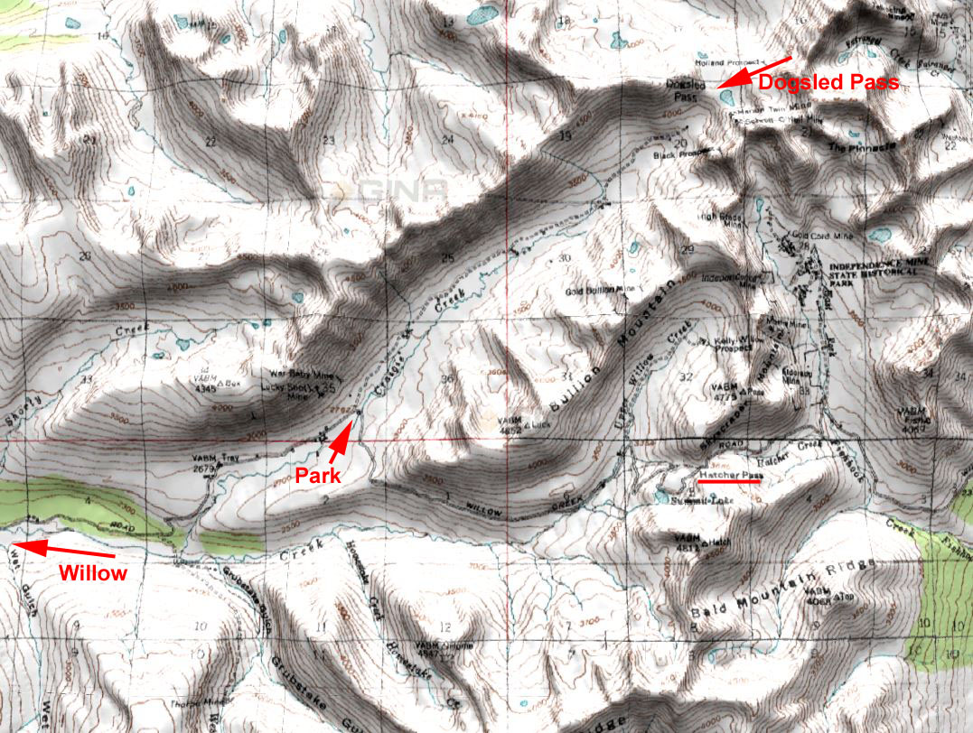
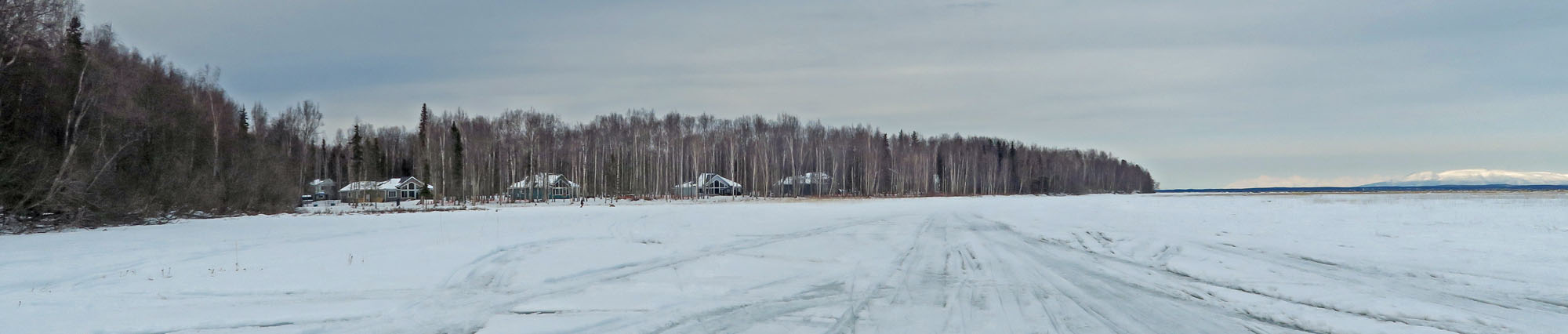
| Late February 2018:
Eklutna Canyon |
|
I had never
been up Eklutna Canyon. So I figured I'd take a quick ski
up into the canyon and check out where they recently (last
summer) removed an old dam. You could see where the dam
used to be, but it's definitely gone now. Surprised to see
an excavator just below the dam site that was filled with mud.
I would later find out that the excavator was stuck below the
dam and having mechanical problems. And before they could
get it fixed, or lift it back out of the canyon with the giant
crane above on the canyon rim, a flash flood hit it with silt
and mud that had settled behind the dam over the years.
Cool place to check out on skis. |
 |
 |
 |
|
Site of former dam. |
Skiing Eklutna
Canyon. Most of it was dryer than this picture shows. |
Excavator filled
with mud. |
|
|
|
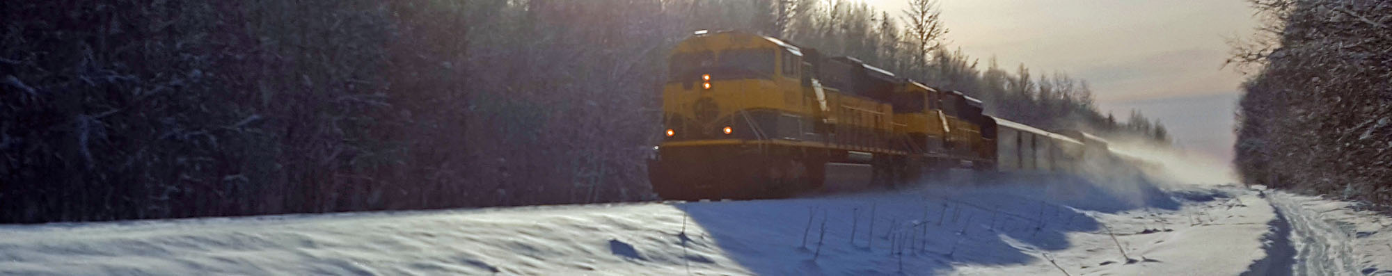
| Mid February 2018:
The Chase Trail |
|
| Mid January 2018:
Another Unexpected Groomed Trail |
 |
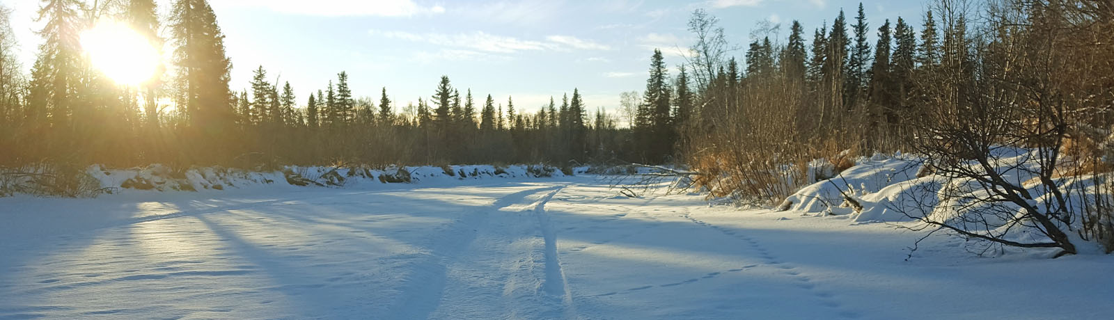
|
Another ski,
another unexpected groomed trail. They're everywhere!
This one was on the Little Susitna River between Hock Lake and
the Gasline Trail. Someone pulled a drag on this stretch
of the Little Su. Made for good skating. I had never
skied on this stretch of the the Little Su before, only on
trails to the east and west. So it was fun to ski this
serpentine stretch of river. The river banks reminded me
of the Deshka River. |
 |
 |
 |
|
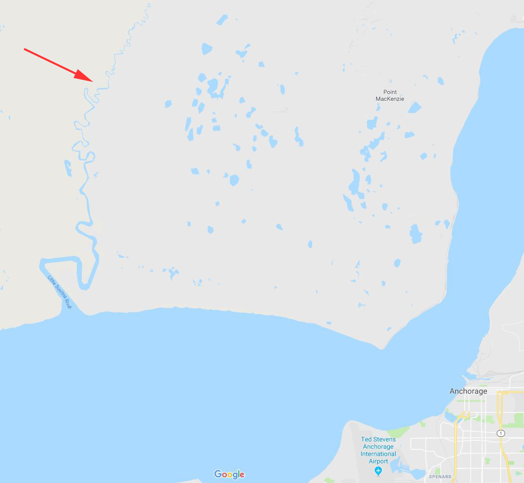
Location of the
Little Susitna River. |
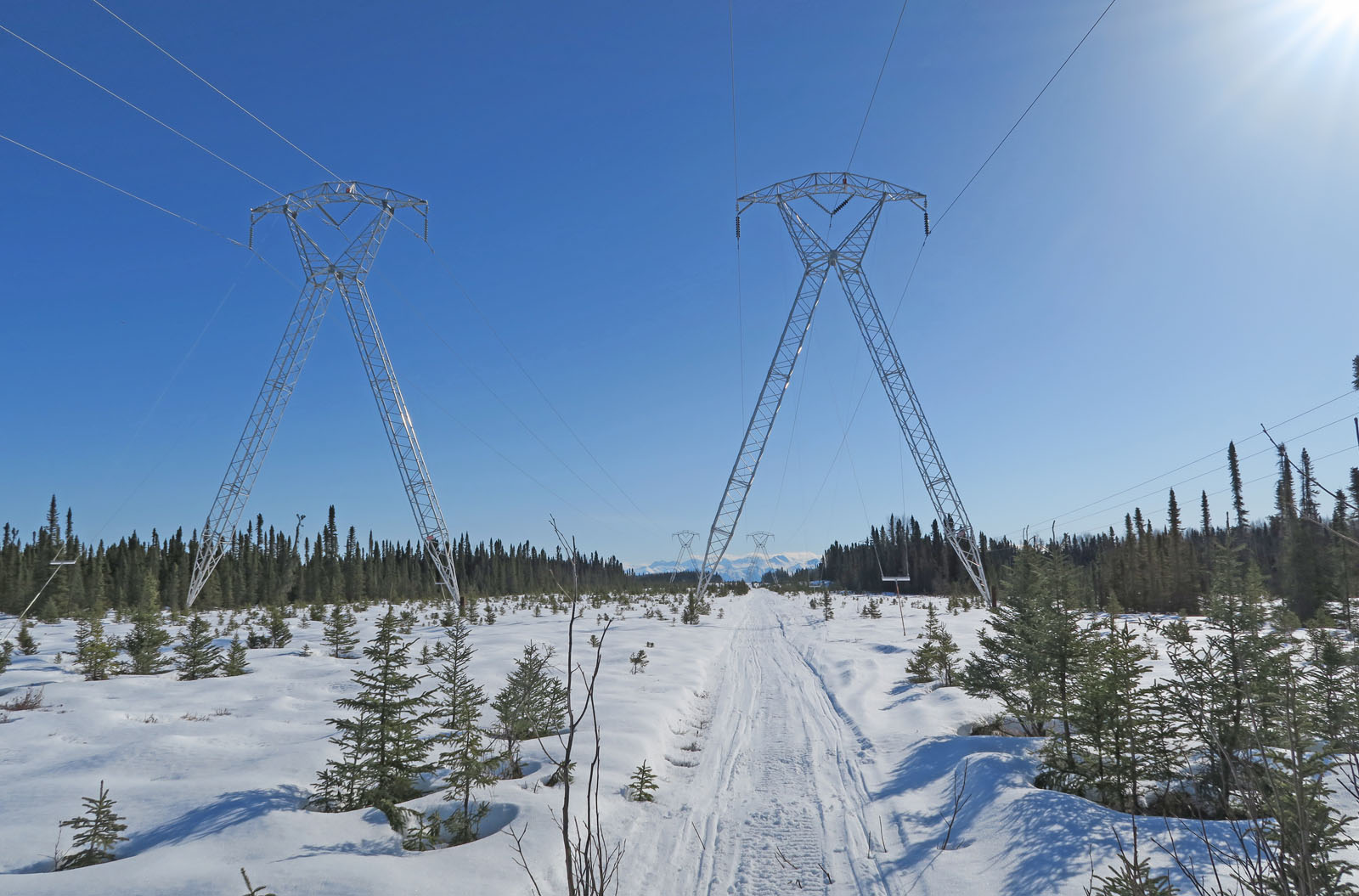
Winter recreation in
the Susitna Valley benefits from the seismic line trails that
were cut here in the 1950s in the search for natural gas. |
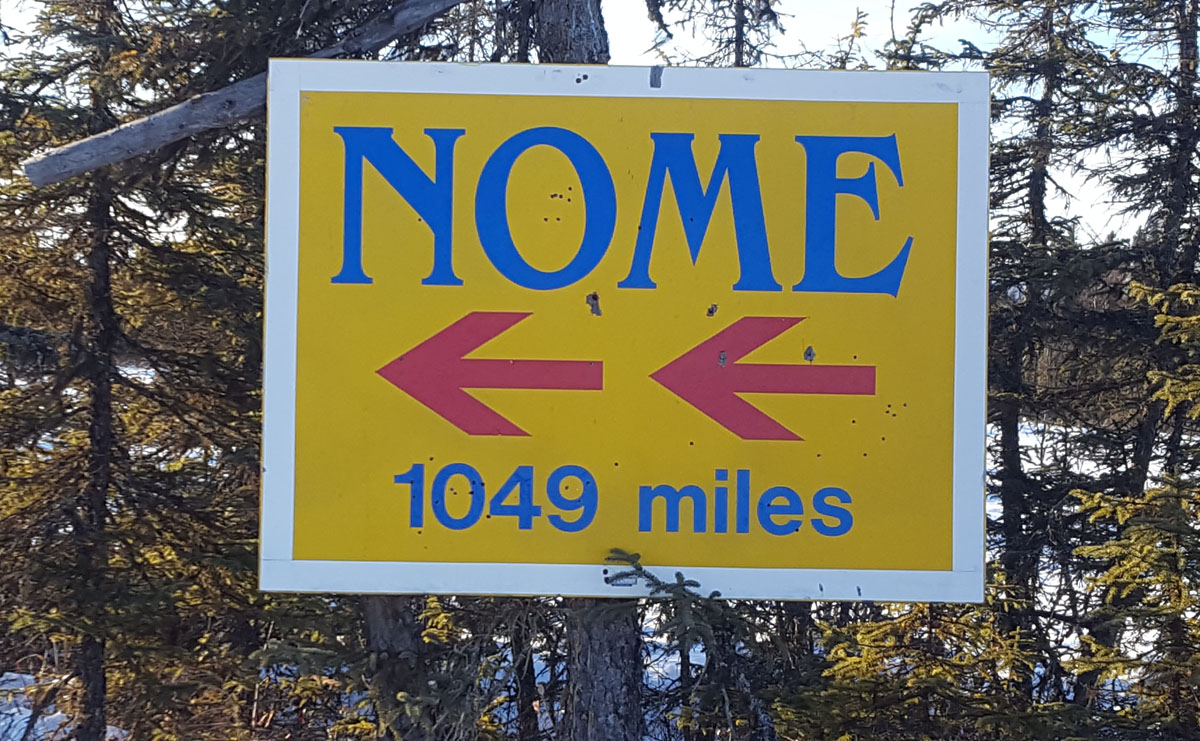
A Nome 1049 sign has
been at a location in the swamps to the west of the Little Su
since the 80s. The Iditarod Trail once passed by this
point. But it has not come by here in a long time.
This is probably the grand-sign or great grand-sign of the
original sign. |
|
|
|
 |
 |
|
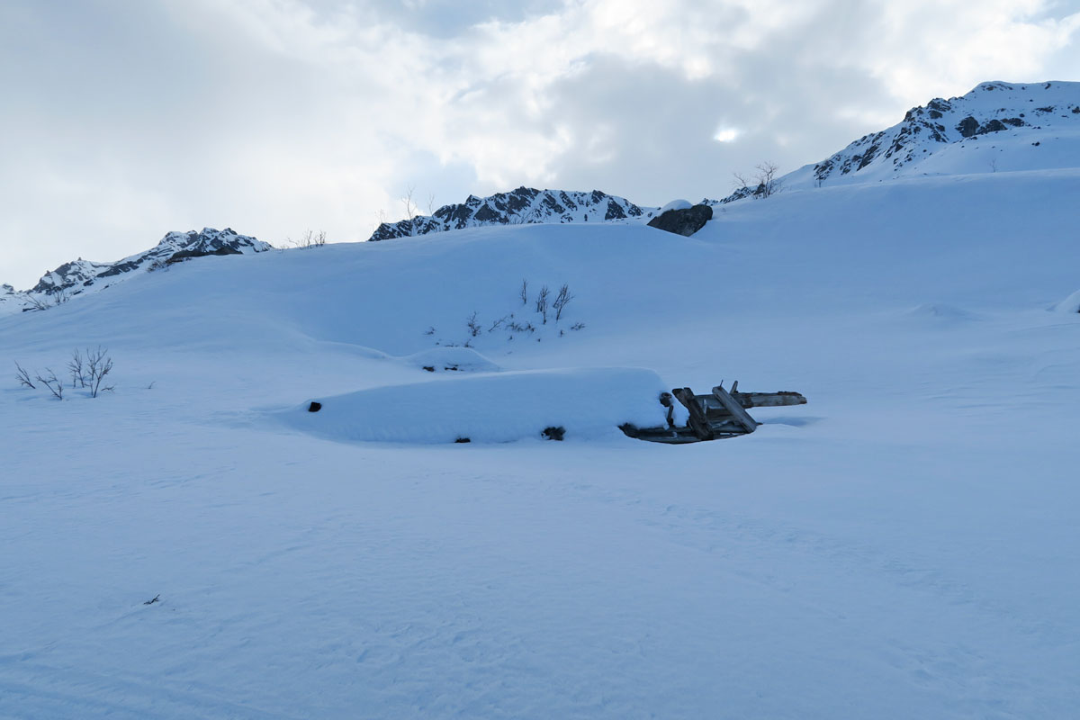
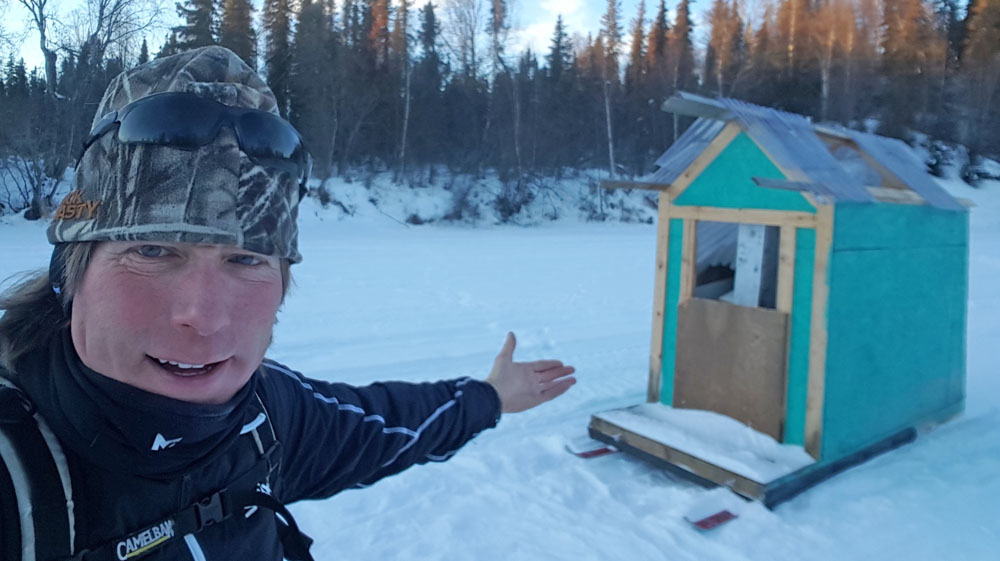
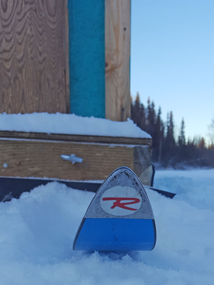
Near where
the Little Su crosses the Gasline Trail I found this ice
shanty, filled with stuff. Looks like the folks
that were dragging it had some mechanical problems or
something and were leaving it here for awhile. I
noticed that old Rossignol Concourse Alpine skis were
their choice for shanty-skidding skis. |
|
|
|
|
| Mid January 2018:
Finding An Unexpected Groomed Trail |
|
| Early January 2018:
Bell Island Channel Surfing |
 |
|
After the
December rain-down and meltdown, a small snowstorm moved through
Southcentral Alaska. But due to the whims of weather,
the area of Bell Island and vicinity got very little snow.
But for a skier ... this is not a problem. Because it means there is
good early winter crust skiing in the area.
I use these conditions to check out the channels that cut across
Bell Island. This can be a tricky boating area. The
water is murky with silt and you can't see but a few inches down
into it. The channels are shallow and they constantly
change. So it's easy to hit bottom and ground your boat in
this maze of murky glacial waters. So I like to ski this
area, do channel research and GPS the best (deepest) channels.
In the past I
have gotten comments in the summer like: "How the hell did you
get that boat down the West Channel!?" I usually respond
with some quip like: "Well, I guess you just have to know how to
read the water." I don't say that I learned the channels
by skiing them. Most boaters in Alaska wouldn't comprehend
what I'm talking about. So ha! ... let them think I'm a
gifted river runner! ;-) |
|
 |
 |
 |
|
|
|
 |
 |
|
Definitely some weirdness on the main trail to Alexander
Creek this winter. Where it crosses the Big
Susitna River there is a HUGE open hole in the river.
Early January and the hole is still big enough to land a Super
Cub on. Usually this spot is frozen over and
people are buzzing over it on snowmobiles. In 25
years I have never seen an opening like this in the ice
of the Big Su at this crossing. A week ago the
temps got into the 40s and a 40 mph wind blew in from
the south. This open hole had 2 foot waves with
whitecaps. And this is January? Crazy. |
|
 |
 |
|
|
|
|
|
|
|


