|
|
|
|
Home |
|
Intro |
Gear |
About |
Trips: |
2026 |
25 |
24 |
23 |
22 |
21 |
20 |
19 |
18 |
17 |
16 |
15 |
14 |
13 |
12 |
11 |
10 |
09 |
08 |
07 |
06 |
05 |
04 |
UBXC |
Apps |
eBook |
|
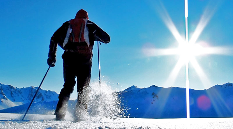
2011/2012
by: Tim
Kelley
|
|
|
|
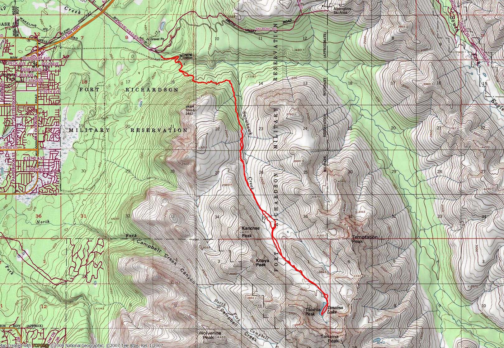
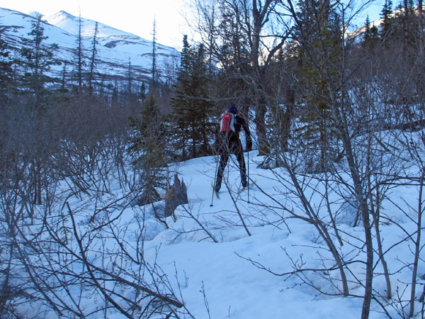
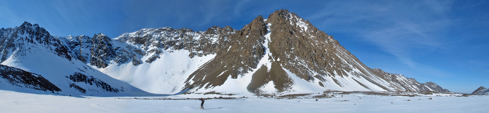
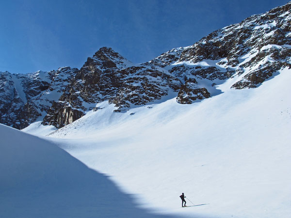
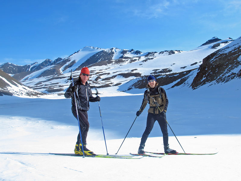
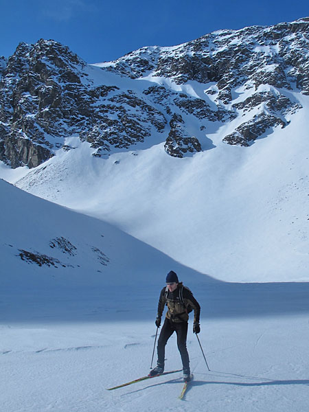
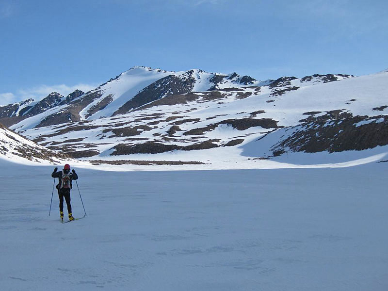
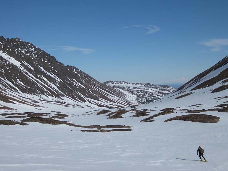
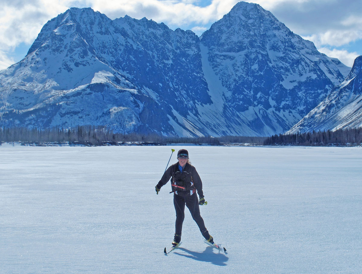
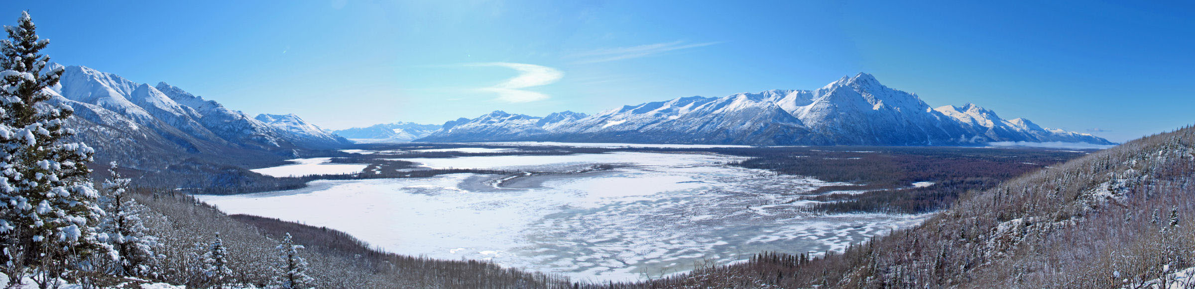
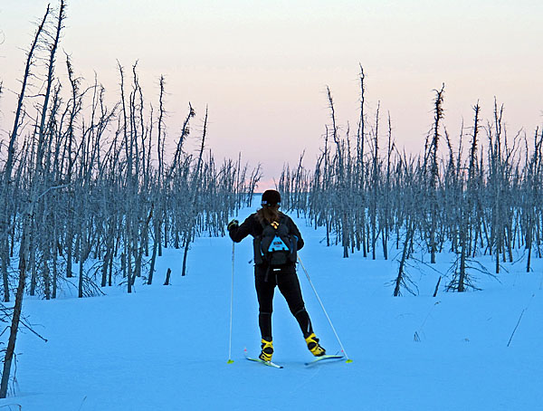
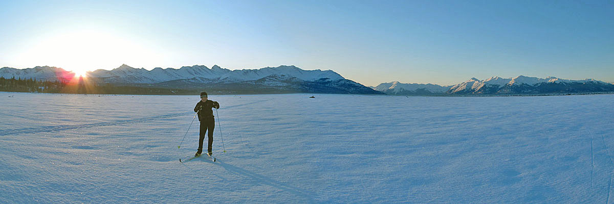
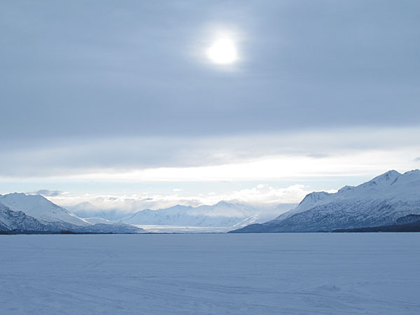
| 24 April 2012:
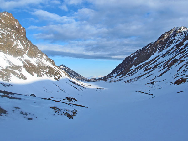
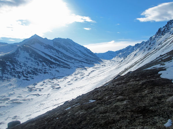
Snowhawk Valley and Tanaina Lake |
|
| Late April 2012:
Miscellaneous |
|
| Late April 2012:
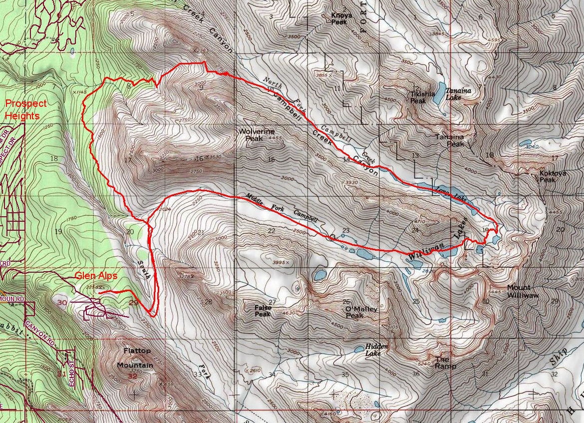
A Williwaw Lake Skiing And Hiking Loop |
|
| 20 April 2012:
A "Backyard" Crust Skiing Loop |
|
| 13 April 2012:
Twentymile Valley Crust Skiing Loop |
|
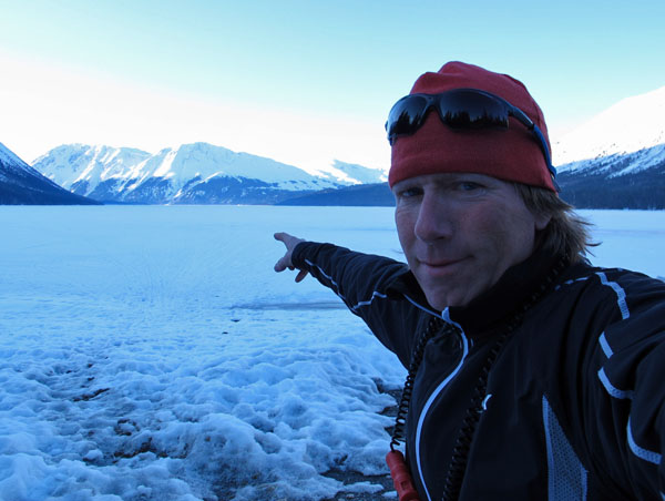
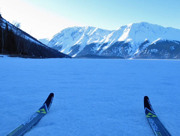
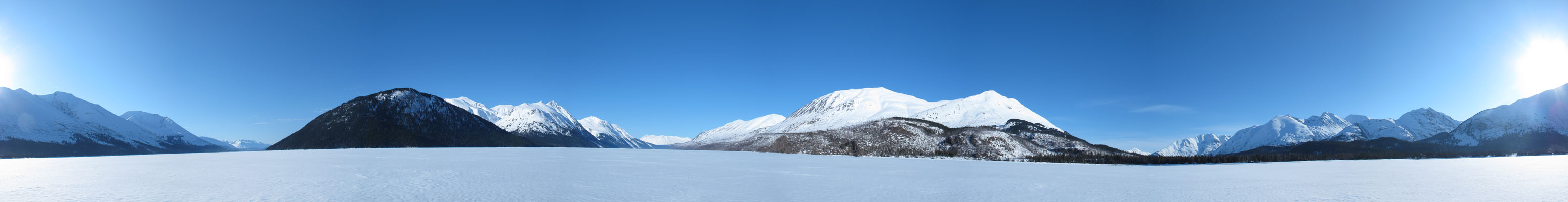
| 12 April 2012:
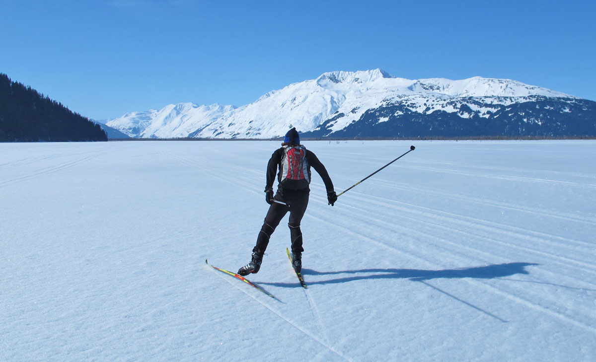
Kenai Lake Crust Cruising |
|
| 10 April 2012:
Ski-Liking Skilak |
|
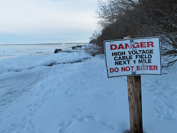
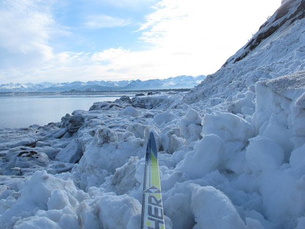
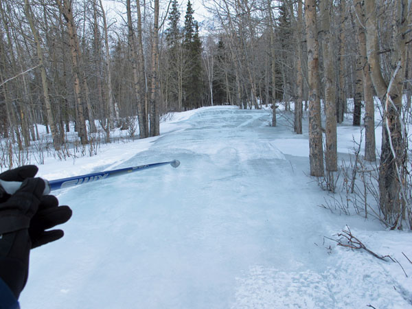
| 30 March 2012:
"Soak Zone" Crust
Skiing Along The Coast Of Anchorage |
|
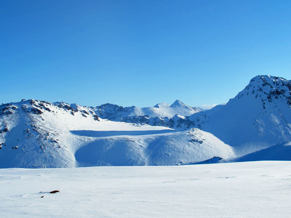
| Late March 2012:
Skilak Lake Recon |
|
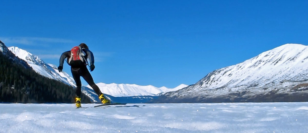
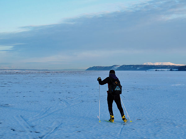
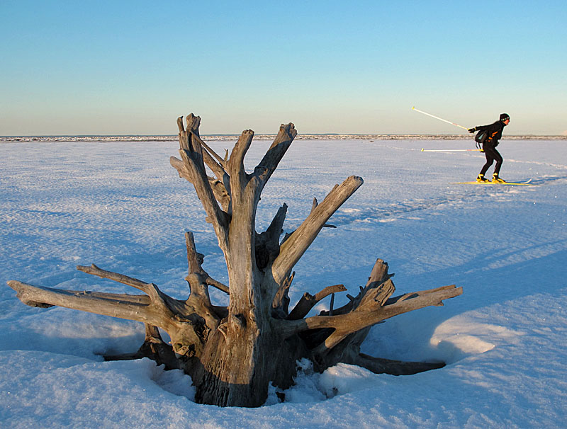
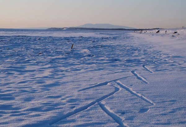
Recently I
went to Skilak Lake to see what the conditions were like.
They were okay, but not that great: 39 degrees, wind, rain and
snow showers and the snow was too deep to skate off of
established snowmobile trails. But as a heads up to fellow
crust skiing enthusiasts: in early April it is possible that
there could be some really good crust skiing on this lake.
There is plenty of snow on the lake and it is dense and settled.
So the likelihood of all the snow blowing off the lake is low.
If a clear spell moves in during the first 10 days of April this
lake may be ready for prime time crust skiing. Of course,
if Skilak Lake is good at this time then Kenai Lake should be
too. So if either of these lakes are on your crust skiing
list then this might be the year to check them off. The
emphasis here is on "might", because we have no clue of what the
weather will actually turn out to be.
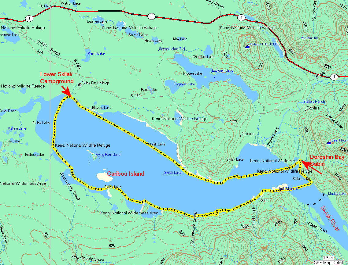
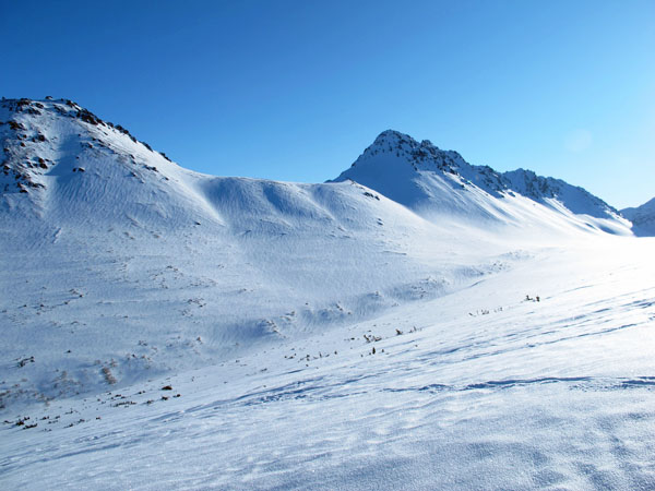
I first went
to the Upper Campground at Skilak Lake. I wanted to ski to
the Caribou Islands, but the single snowmobile track leading
that way was was too punchy. So I started following a well
used snowmobile trail east that took me around the rocky, forest
fire ravaged point and on to Lucas Island, through Irish Channel
and on to the end of the lake. After skiing back the same
route back to the campground, a 17 mile round trip, I
drove to the Lower Campground to see what was going on there.
Once there I realized that this was the takeoff point the
Caribou Island cabin owners used. There was a well used
snowmobile trail heading out to the islands. So, I put my
damp ski clothes back on and skied out to Caribou Island and
back (10 miles RT). Caribou Island is a recreational cabin
enclave that is quite remote and not known by many. It was
neat to check this place out. |
 |
 |
 |
|
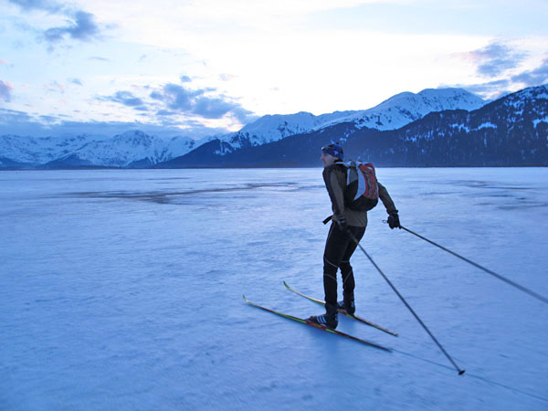
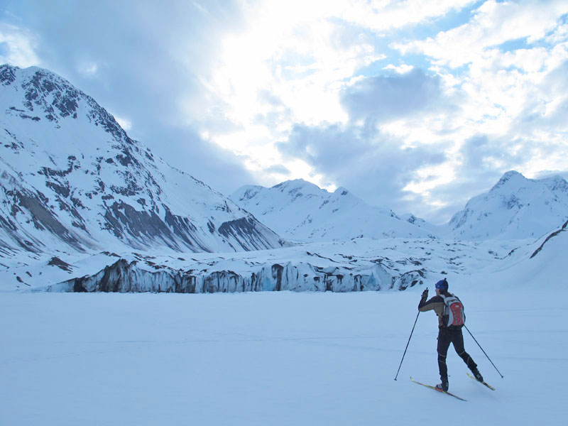
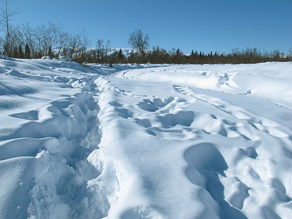
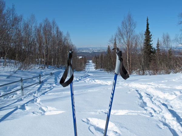
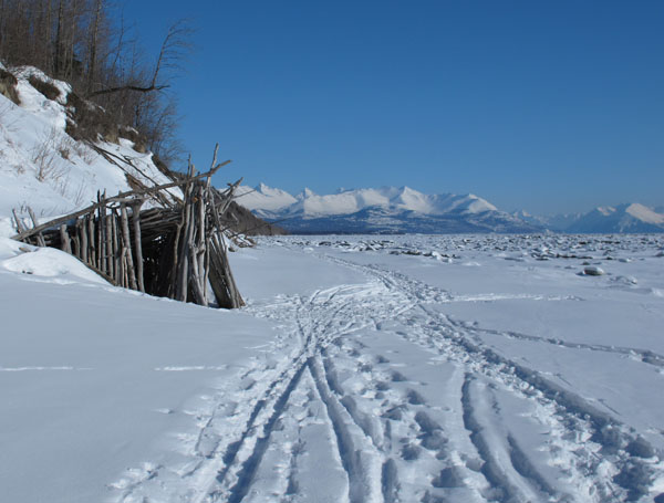
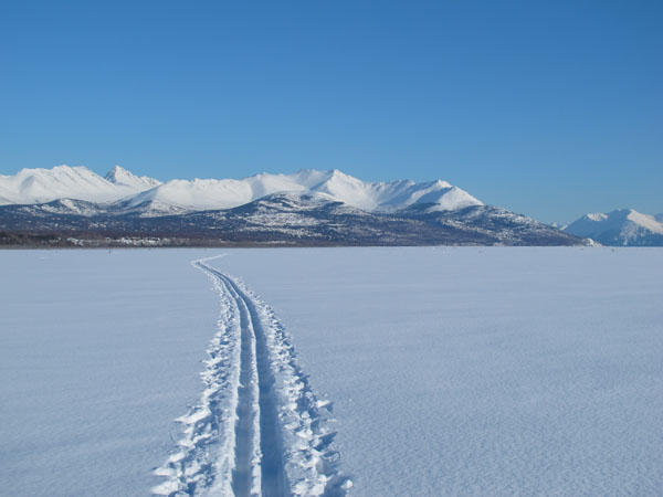
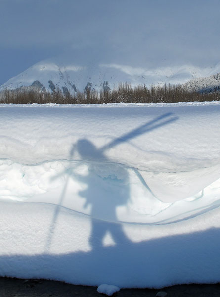
GPS tracks |
Heading out from the
Upper Campground on snowmobile trails. |
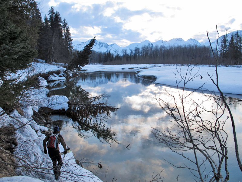
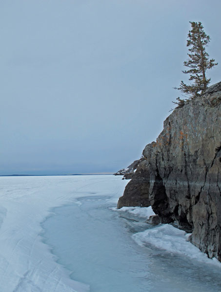
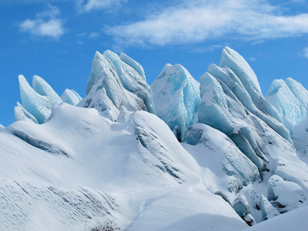
The headland to the
north of Skilak Lake is forest fire ravaged and rocky.
It's unique skiing (or kayaking in the summer) next to these
cliffs and glacier-smoothed ledges that come down to the water
along this shoreline. |
 |
 |
 |
 |
 |
|
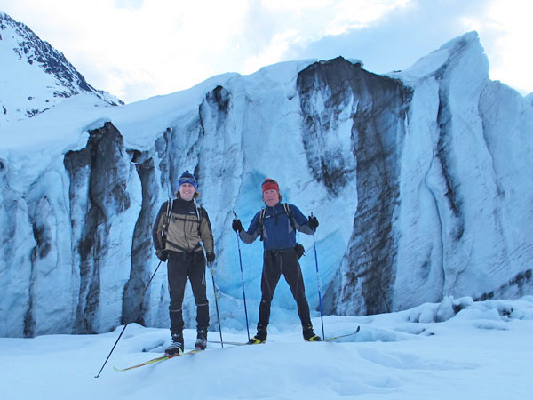
"Top o the day to ya
me laddie! Welcome to Irish Channel!" Looking west,
Lucas Island is on the right. |
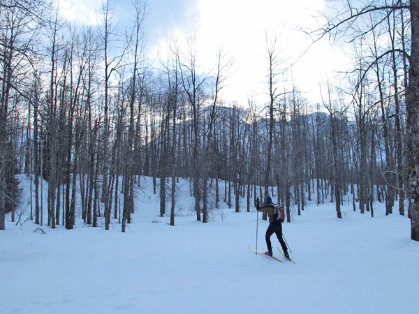
Heading back past
the rocky headlands on the north of the lake. Wet powder
made skiing slow. |
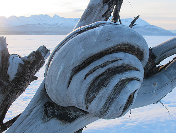
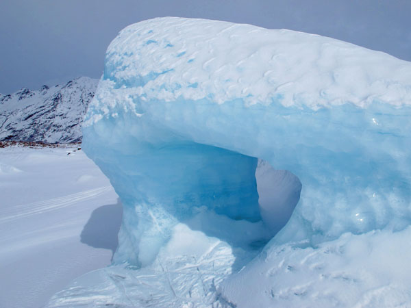
I've heard that the
trees on the fire-protected rock islands in Skilak Lake are very
old "natural bonsai" trees, growth is stunted by near-constant
strong winds. |
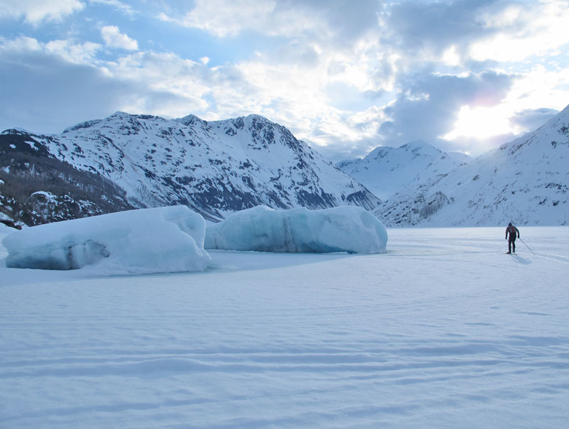
A Caribou Island
cabin owner hauls concrete blocks across Skilak Lake.
Frying Pan Island is in the distance. |
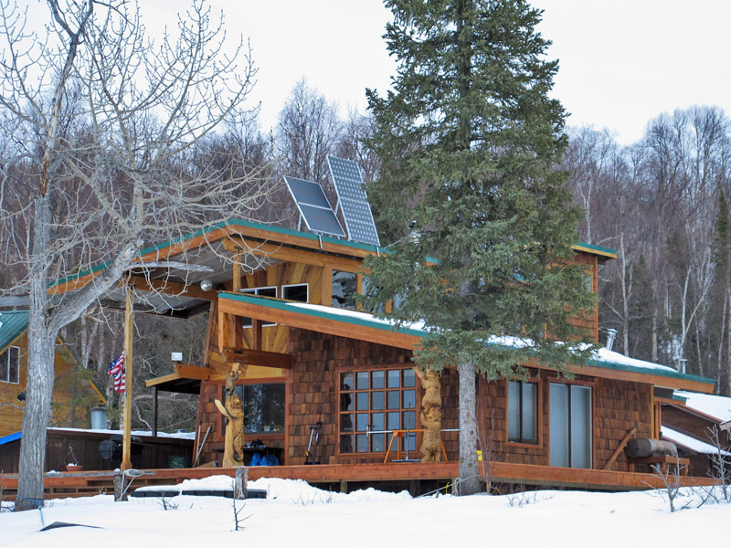
This cabin on
Caribou Island had some nice carvings of bears integrated into
its structure. Solar panels are seen because this area is
waaay off the grid. |
|
|
|
|
|
| Late March 2012:
A Ski Loop Aborted By
Compassion |
|
| 22 March 2012:
A 60 Mile Ski AROUND
Anchorage |
|
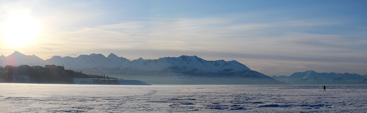
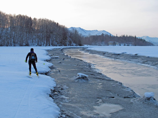
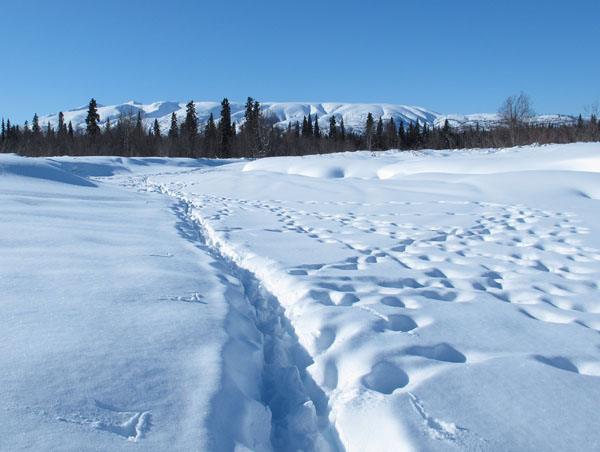
To ski around
Anchorage has been on my list for a while. I had done a
44 mile ski around the northern half of Anchorage in 2008, and
a
52 mile ski around the southern half of Anchorage in 2009.
So I wanted to put the outer parts of these two loops together,
and then some, to make a complete circle around Anchorage.
The idea of skiing around Anchorage is to ski a circle around as
many homes in the Anchorage Bowl as you can. The loop I
skied gets the vast majority of the Anchorage Bowl dwellings,
except for a couple of dozen homes in upper Stuckagain Heights
and some homes and apartment buildings in the northwest corner of
Mountain View. This loop also excluded Government Hill,
which may or may not be a part of the Anchorage Bowl depending
on your definition.
Much of this 60 mile loop was on trails of some sort:
backcountry skier skinning-tracks, ski-touring tracks, snowshoe
and walker trails, snowmobile tracks, roads, sidewalks and
groomed bike trails. No groomed ski-only trails were used.
Enough of this loop required trail breaking, especially the
uphills in the mountains, to drop the pace average and make this
ski drag on into the dark. And it was fun to start and end
this ski loop at my house.
I was
somewhat surprised that I was able to ski 99% of this loop.
I ran/hiked less than a kilometer. The fact I could ski so
much of this loop in late March was due to the extreme amount of
snowfall we got this winter coupled with cold temperatures for
late March (it was -8 degrees F in Bicentennial Park the morning
I started).
The following
are pictures I took during this fun ski loop AROUND my hometown
... |
 |
 |
 |
 |
|
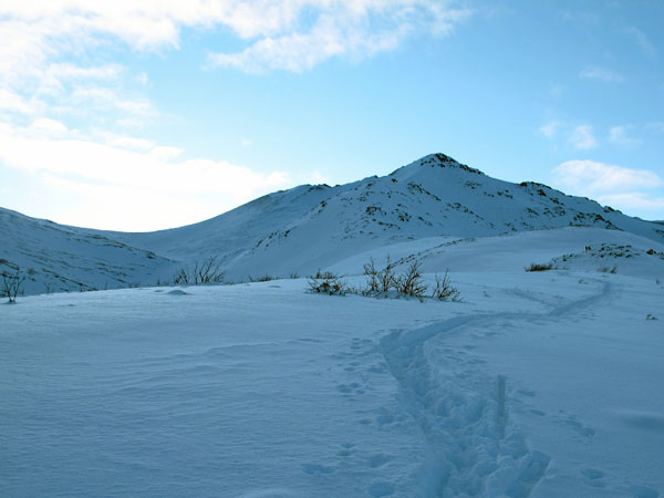
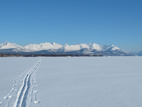
GPS track: Just shy
of 60 miles. |
Starting out and
heading up skied-in tracks of the Stewart's Road in upper Potter
Valley, |
Climbing over the
ridge that leads up to False McHugh Peak. |
A long, slow climb
up soft
snowmobile tracks to the saddle NW of McHugh Peak. |
 |
 |
 |
 |
|
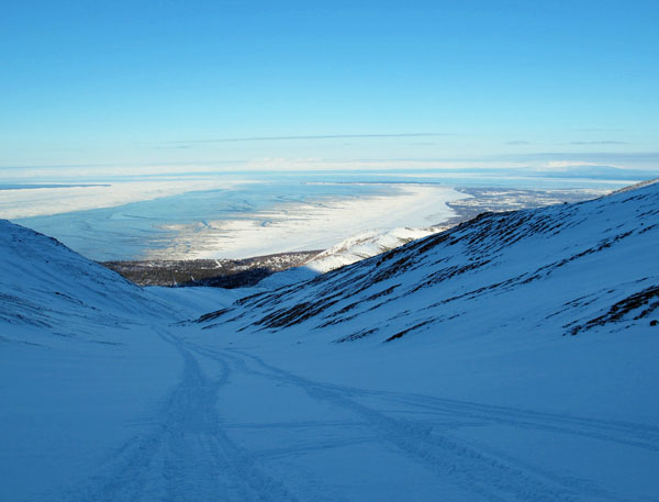
Looking down at
Anchorage. |
A nice morning in
the Western Chugach Mountains. |
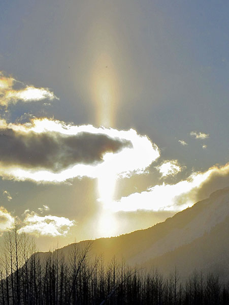
Ptarmigan Peak
throws a unique looking shadow. |
Wow! There is
a LOT of snow in Rabbit Valley this year! |
 |
 |
 |
 |
|
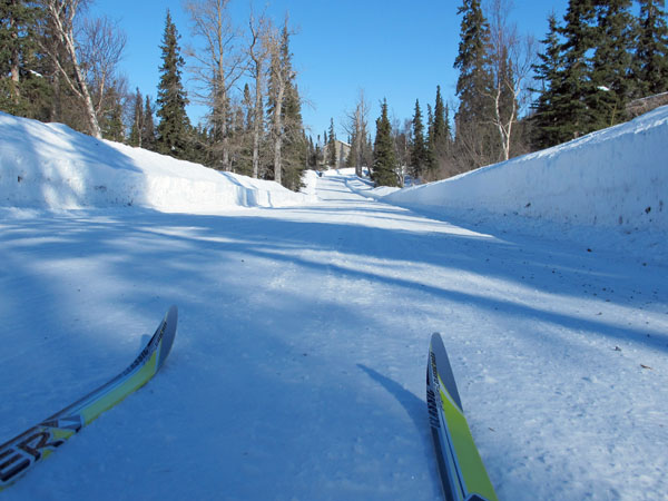
Following skin
tracks up Flattop. |
Side-hilling around
the west flank of Flattop. |
Looking past the red
house at Glenn Alps back at Flattop. |
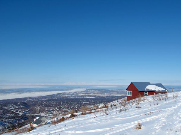
The "red house" at
Glenn Alps, the highest house in
Anchorage. |
 |
 |
 |
 |
 |
|
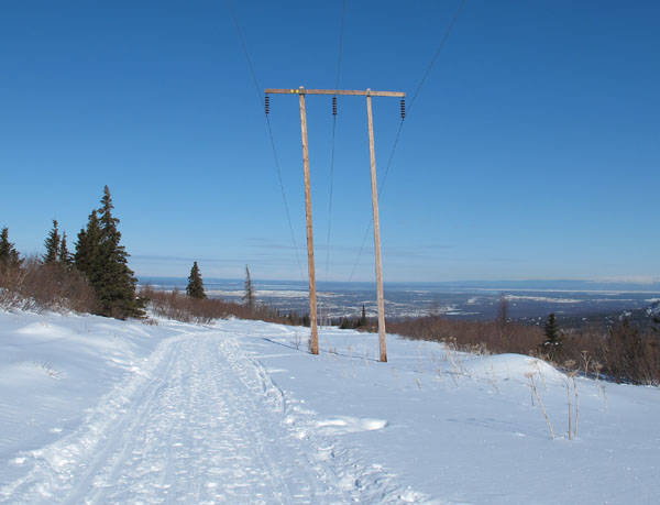
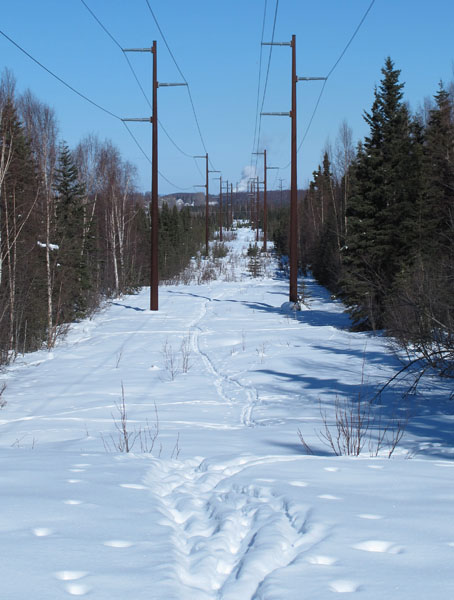
Heading down the
Powerline Trail. |
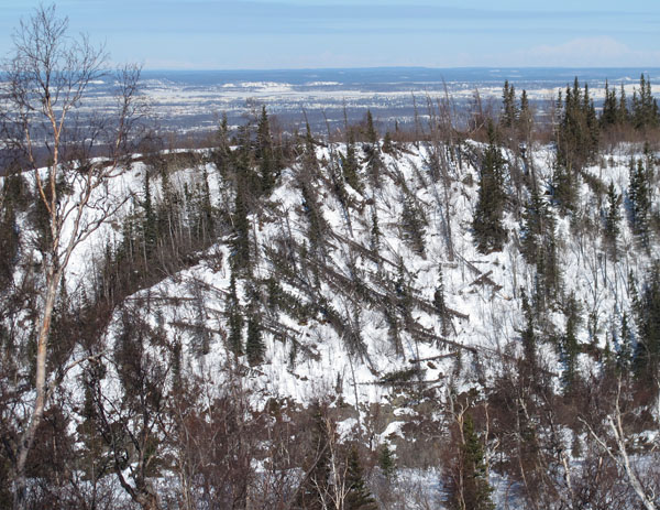
Recent blow-downs at
Campbell Creek Canyon - victims of this winter's windstorms. |
The secret backdoor
trail to Stuckagain Heights. |
At Stuckagain I
skied Middle Rock, Burning Bush and Baxter Roads to get to ... |
... the Fort Rich
fence line that runs down to the Tank Trail. |
 |
 |
 |
 |
 |
|
Skiing the power
line to Centennial Park. Trails were come and go here, I
had to do some trail breaking. |
This was cool to see
- old school wood and webbing trail snowshoe tracks. This
is how I used to "groom" ski trails as a kid. |
Black holes are
found in outer space. White holes are found east of
Muldoon. |
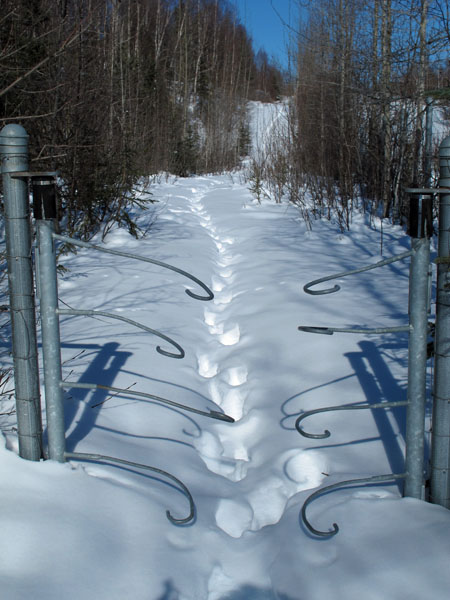
The moose gate exit
from Fort Rich (yes - I called in my RAP number). |
From previous
experience: checking the Glenn Highway underpass for drunks
before entering. |
 |
 |
 |
 |
 |
|
I figured for sure
I'd have to walk the Glenn Highway bike trail. But ha! ...
the snow berms had shaded the trail and kept it from melting. |
I skied roadsides
and sidewalks to get through Mountain View. I had skied
through this neighborhood before when it was dark, 15 below zero
and everyone was inside. No problem. This time I
didn't have a good feeling about being a white guy in tights
skiing through here. I skied really fast to show myself
the door out of this 'hood. |
Good conditions on
the Ship Creek bike trail. |
Crossing the Ship
Creek bike trail bridge, and about to descend "The Corkscrew"!
Wheeee! |
 |
 |
 |
 |
 |
|
I had to run past
the AK Railroad terminal. But soon I was back on snow. |
Ship Creek port
area. |
The Tony Knowles
Coastal Trail was in good shape. |
Leaving the Coastal
Trail and heading out onto the Anchorage Coastal Refuge. |
The "finish line",
the mountains in the distance, comes into view. |
 |
 |
 |
|
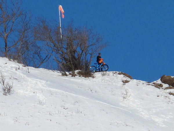
Skiing below the
Kincaid Bluffs on the way to Campbell Creek. |
A mountain biker
watches me from above. |
Following ski
touring tracks towards Campbell Creek. |
 |
 |
 |
 |
 |
|
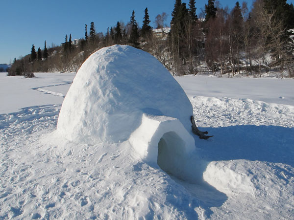
Some folks did a
nice job making this igloo near Oceanview. |
Following ski tracks
off of Oceanview. |
To get from
Oceanview to the shooting range I followed snowshoe trails in
various states. |
Good skiing from the
shooting range to the Potter Section House on a base of
tide-soaked, then re-frozen, snow. |
Pipeline sign. |
 |
 |
 |
 |
|
From the Potter
Marsh area I could look up and see the trail I had climbed up in
the morning. |
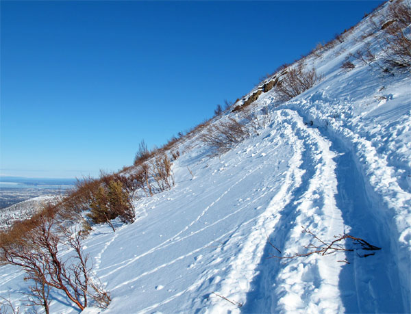
Access to the Old
Johnson (hiking) Trail. |
Sunset on the Old
Johnson Trail. |
Climbing from the
Old Johnson Trail up the southern ridge of Potter Valley was
slow and brutal in punchy snow. I guess it makes it
more memorable to save the hardest section of a long ski trip
for last. |
|
|
|
| 17 March 2012:
Butte to Knik Glacier And
Back |
|
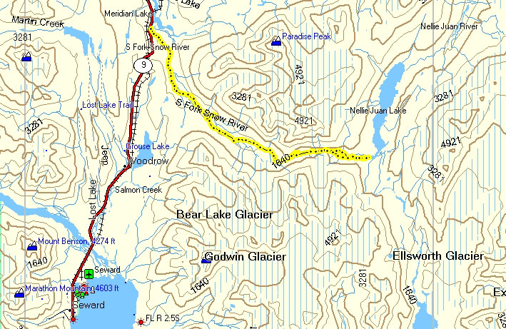
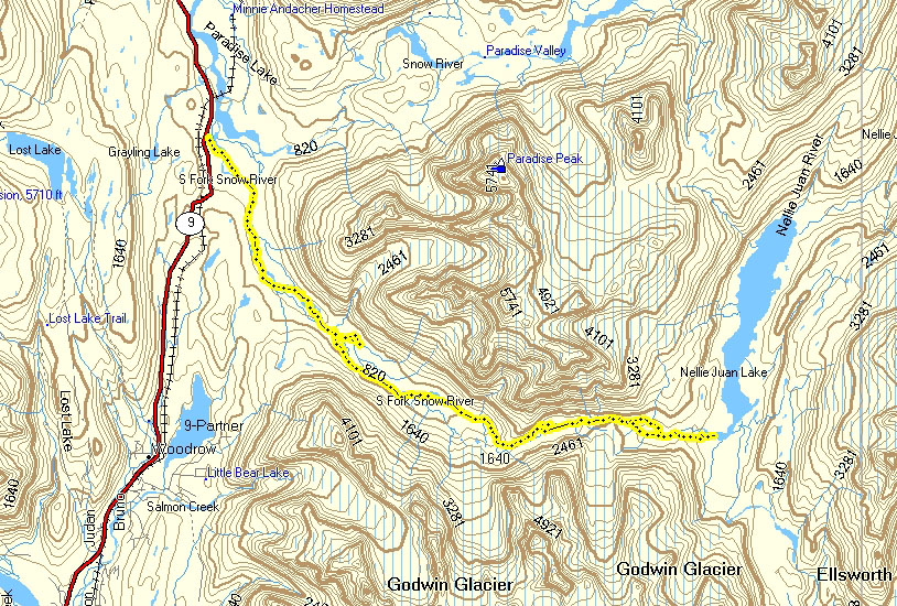
| 11 March 2012:
South Fork Snow River to
Nellie Juan Lake |
|
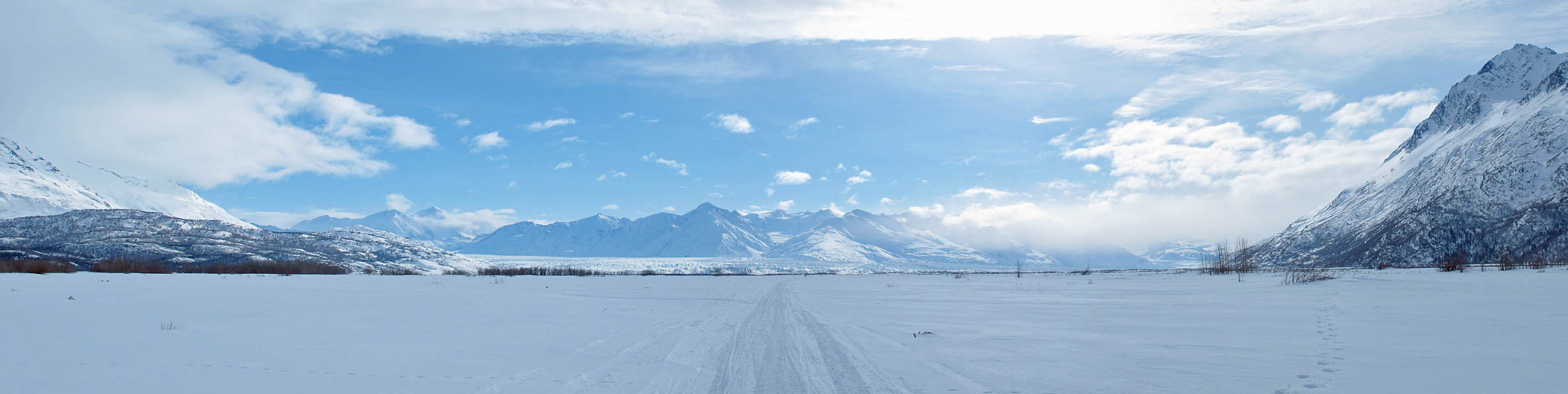
| 04 March 2012:
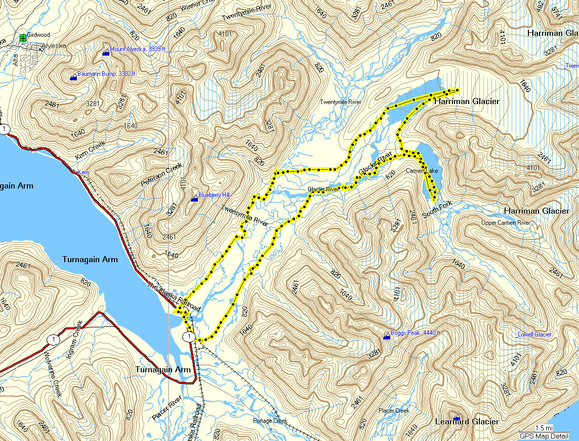
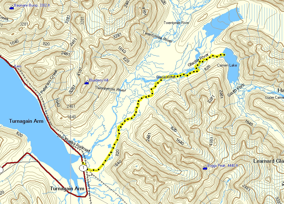
Snowmobile Route (Mostly) to
Carmen Lake |
|
I had been to
one or both lakes at the end of the Twentymile River Valley four
times before, three times by crust skiing and once by kayaking
up to Carmen Lake and back. Our crust skiing route goes up
the west side of the valley. But I had never been up the
east side of the valley all the way to Carmen Lake. This
is the route that snowmobilers take and I wanted to check this
route out. We were having a short good weather window
between storms so I grabbed my skis and gave it ago.
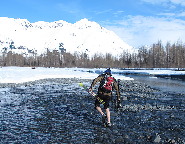
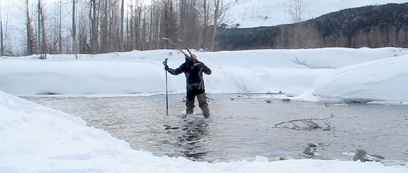
A major factor in this route
are the Glacier River water crossings. There are 8 major
crossings. Four going in, same four coming out. So
you need to bring some footwear for wading these shallow
crossings. Depending on conditions, more than 8 water
crossings could be encountered.
I started out following three
snowmobilers who were making the first trail up the valley since
a recent snowstorm. Where the Carmen River met the Glacier
River I left their sno-go tracks and slogged a trail through 12
to 16 inches of powder and made it to the lake. The
snowmobilers apparently got off track while boondocking woods
towards the lake, and didn't make it. I appreciated their
trail, without it I would have never made it through the new
snow to the back of the valley and back. Hopefully these
guys have better luck and make it to Carmen Lake on their next
try.
Crust skiing is definitely
the more fun way to get to Carmen Lake. But conditions
that allow crust skiing to the back of this valley, without
getting your feet wet, are rare. The last good year was
2007. If you want to crust ski to Carmen or Twentymile
Lakes, and you are prepared to wade water crossings, this route
will probably work when lack of Twentymile River ice shuts down
the route on the west side of the valley. |
 |
 |
 |
|
GPS track: 25 miles
RT approx. |
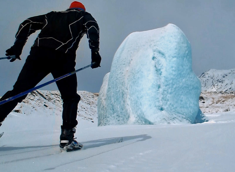
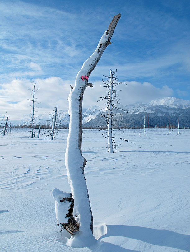
The last storm
plastered the trees in the area. |
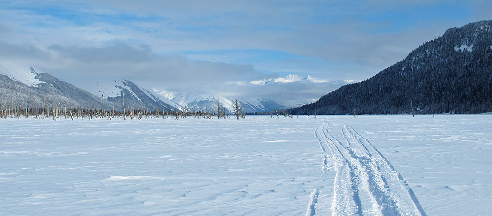
Nice day in the
Twentymile Valley. Meager trail but better than nothing. |
 |
 |
 |
|
|
The snowmobile route
to the end of the valley has 4 water crossings each way. I
brought Neos overboots and they worked fine. I had to put
them on/ take them off six times. Two of the
crossings were close so I kept my boots on between them (100
yds). |
 |
 |
 |
 |
|
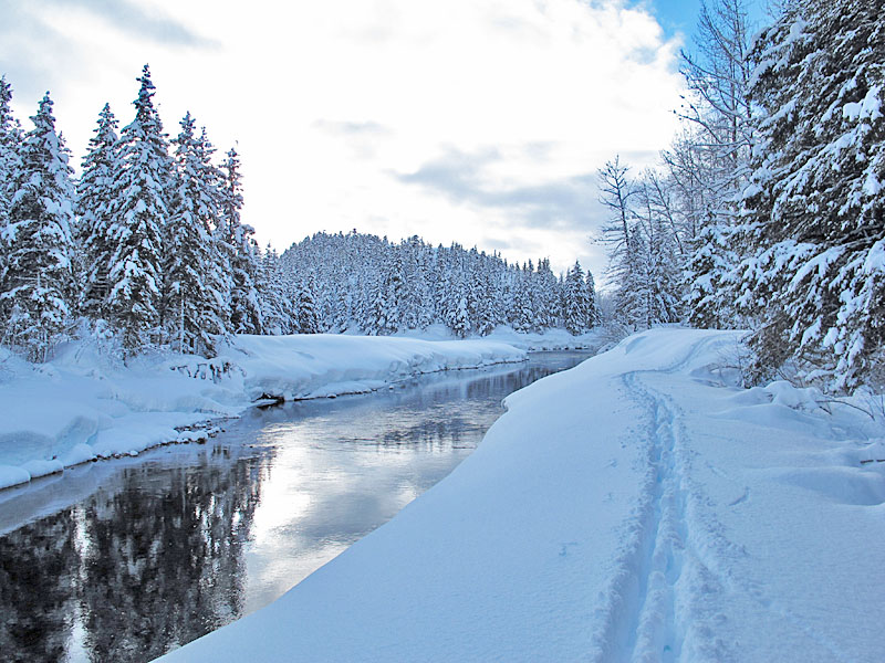
On the bank of the
Carmen River, nearing Carmen Lake. |
At Carmen Lake.
Sweaty from deep snow slogging. Lots of effort to go
really, really slow. |
Three snowmobilers
that I met caught up to me on the way out ... and demonstrated
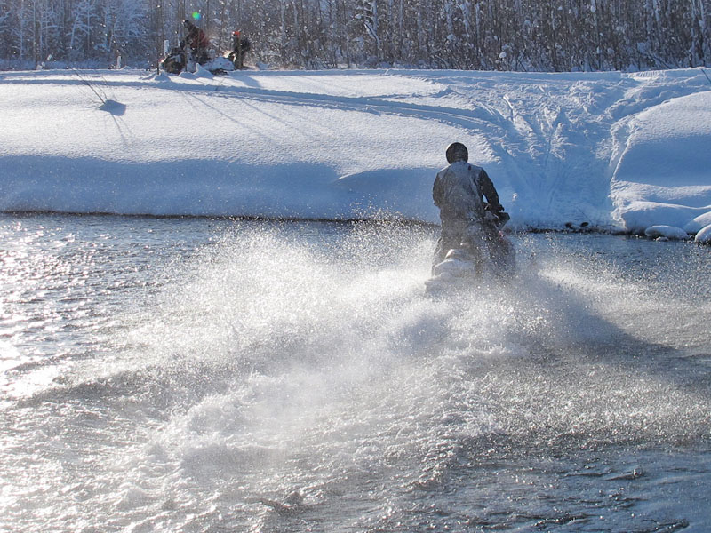
the quick and easy way to make the water crossings. |
Lots of snow in the
Twentymile Valley this year. |
 |
 |
 |
 |
|
|
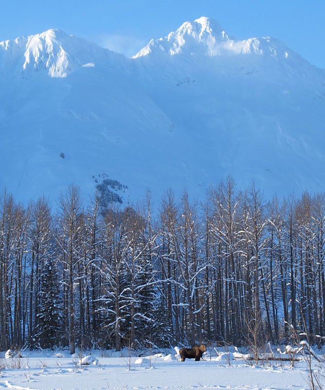
This was sad to see.
This moose had not moved in the last two weeks since Benji and I
saw it. It was in the same spot next to the river and not
able to travel in the 5-6 foot deep snow to get food. It's
ribs are starting to show. Deep snow is brutal and deadly
for moose. |
|
 |
 |
 |
|
|
|
Five snowmobiles
were in the Valley this day, so the trail out was better than
the trail going in. |
|
|
|
|
|
|