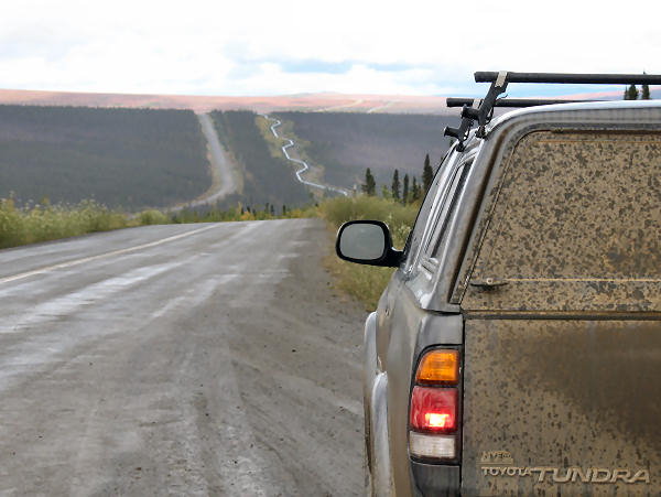
| August-September 2009:
This year I made several trips to Prudhoe Bay to help the
company I work for, GSI,
support the SCADA (Supervisory Control and Data Acquisition)
systems that we developed to help operators run the largest
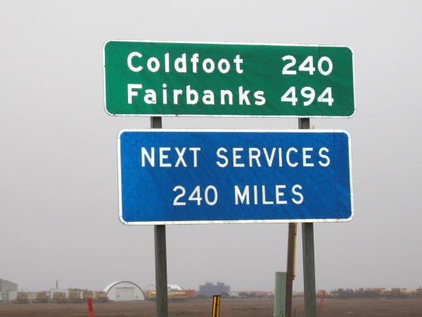
oilfield in the U.S. For my last trip I decided to drive
instead of fly. I'd always wanted to drive the Haul Road
(Dalton Highway), now the legendary road of the "Ice Road
Truckers". From my house in Anchorage I drove the 850 miles
north to Prudhoe Bay, where I worked two weeks of 7-12's and
then drove back. That's a long way to drive, but I'm
sure glad I did it. It was fun, unique, beautiful and I
would recommend to others to do this road trip if they are thinking
about it. |
|
Heading
North Up The Dalton Highway |
 |
 |
 |
 |
 |
 |
 |
 |
 |
 |
|
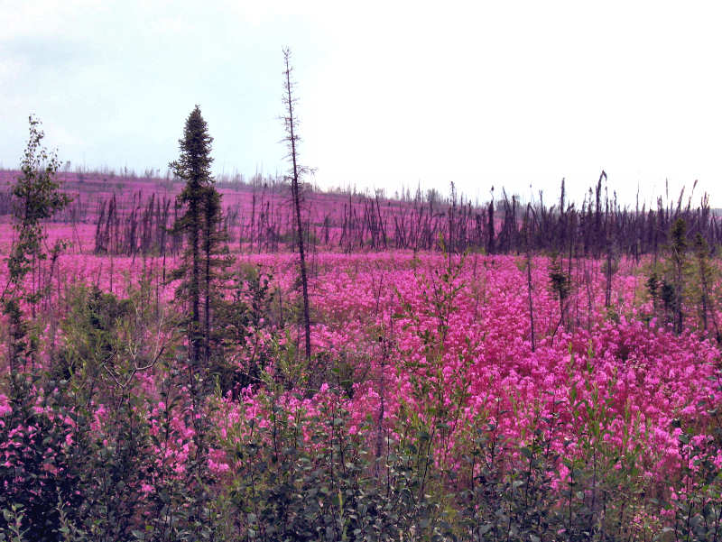
Site of a recent
forest fire |
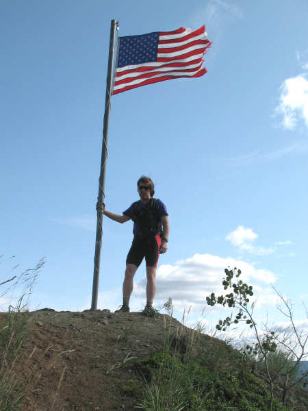
Birthday at the
Arctic Circle |
Wiseman |
Running from
Chandalar Shelf ,,, |
... up to the
Continental Divide at the top of Atigun Pass |
 |
 |
 |
 |
 |
|
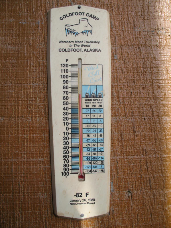
January 26, 1989:
-82 F |
|
|
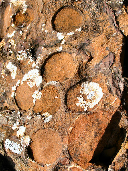
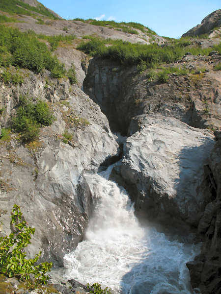
Sag River conglomerate and fossilized coral |
|
|
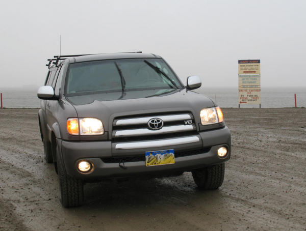
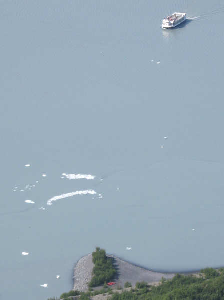
At Prudhoe
Bay |
 |
 |
 |
 |
 |
|
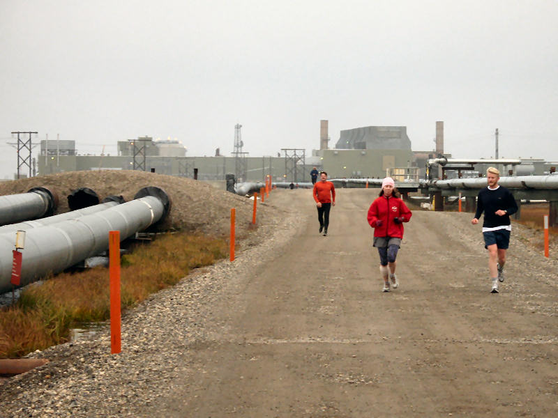
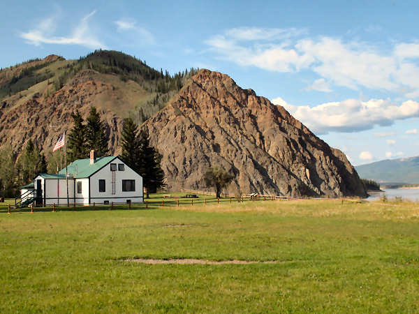
A nice evening at
Prudhoe Bay |
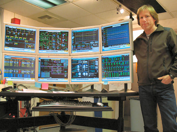
Operator console |
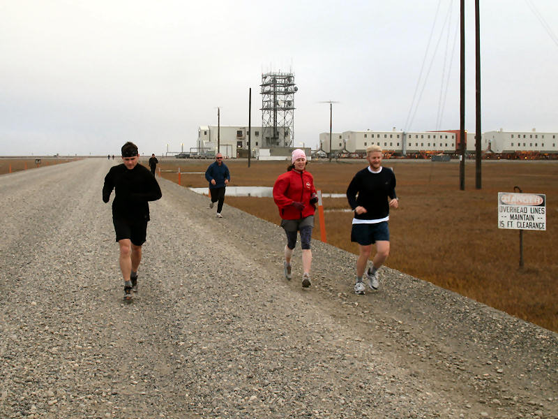
Prudhoe Bay Running
Club |
|
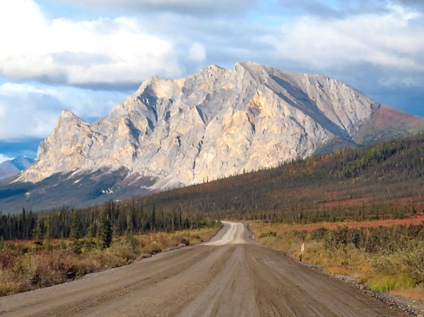
Heading
Back Down the Dalton Highway, and Hiking in the Brooks Range |
 |
 |
 |
 |
 |
|
The weather was grim
in Prudhoe Bay the morning I left. |
But it soon turned
REALLY nice! |
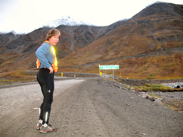
This flagman said he
was off for R&R after working 8 weeks straight.
Wow. |
 |
 |
 |
 |
 |
|
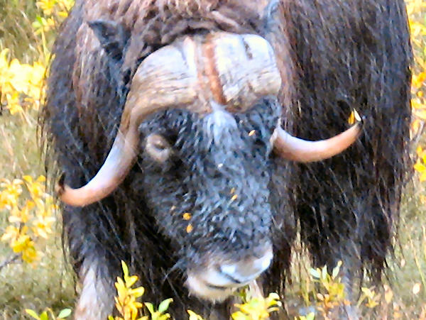
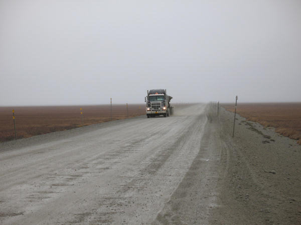
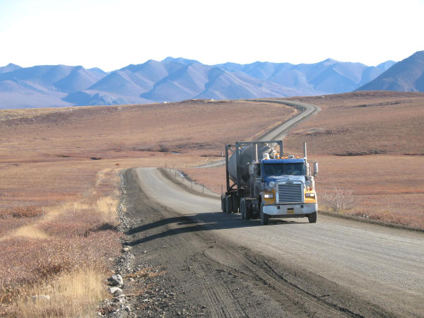
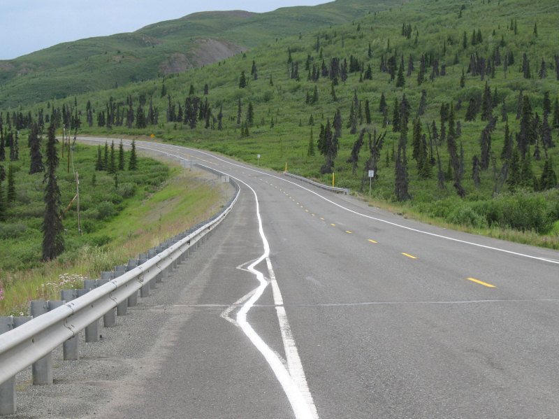
A nice day to be a
musk ox. |
A nice day to be
driving a truck on the Dalton Highway. |
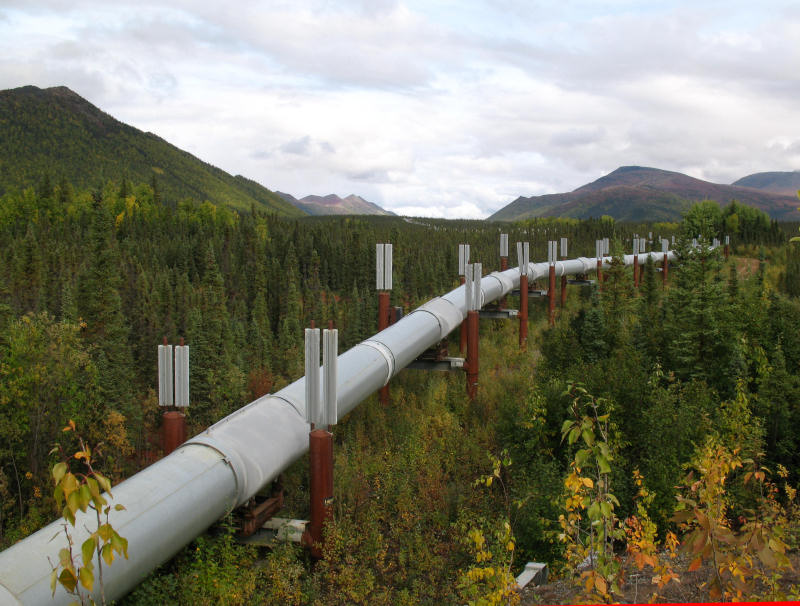
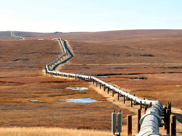
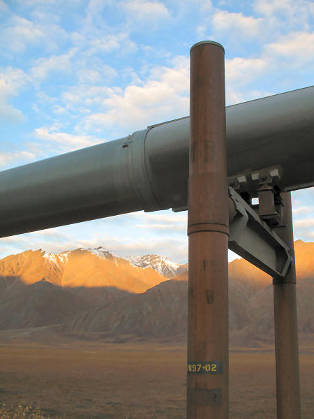
The Trans-Alaska
Pipeline |
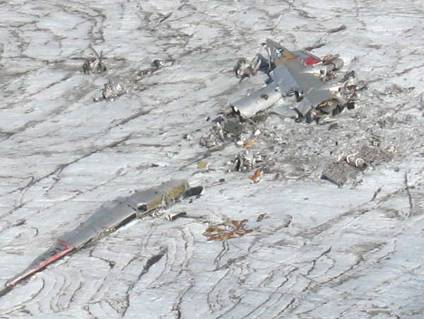
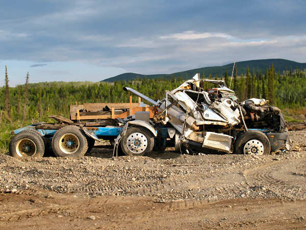
A crashed truck with
the Toolik Field Station (global warming research) in the
distance. |
 |
|
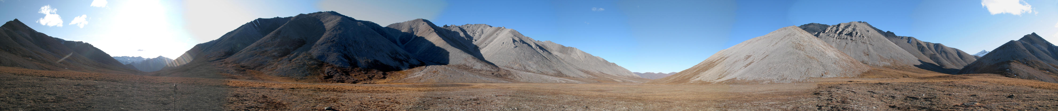
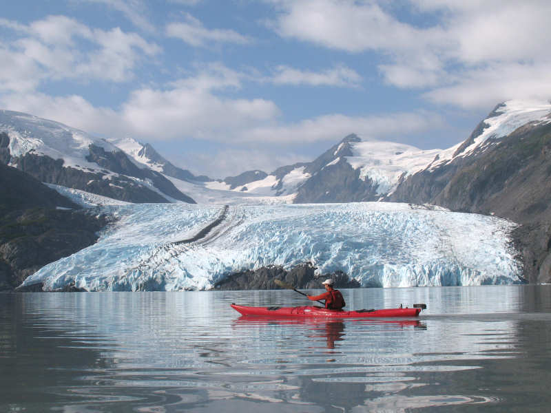
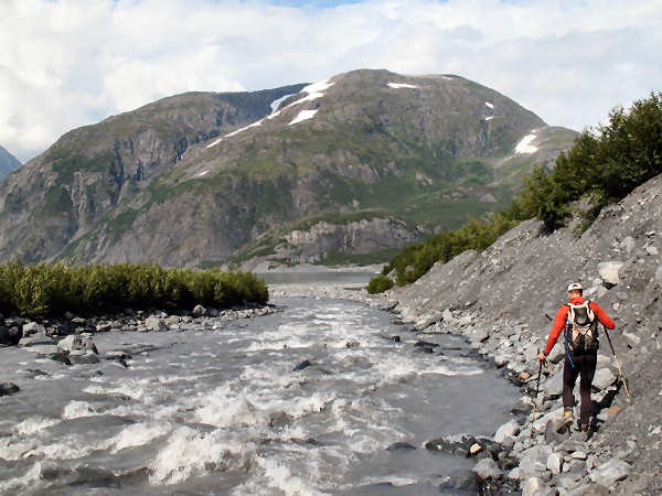
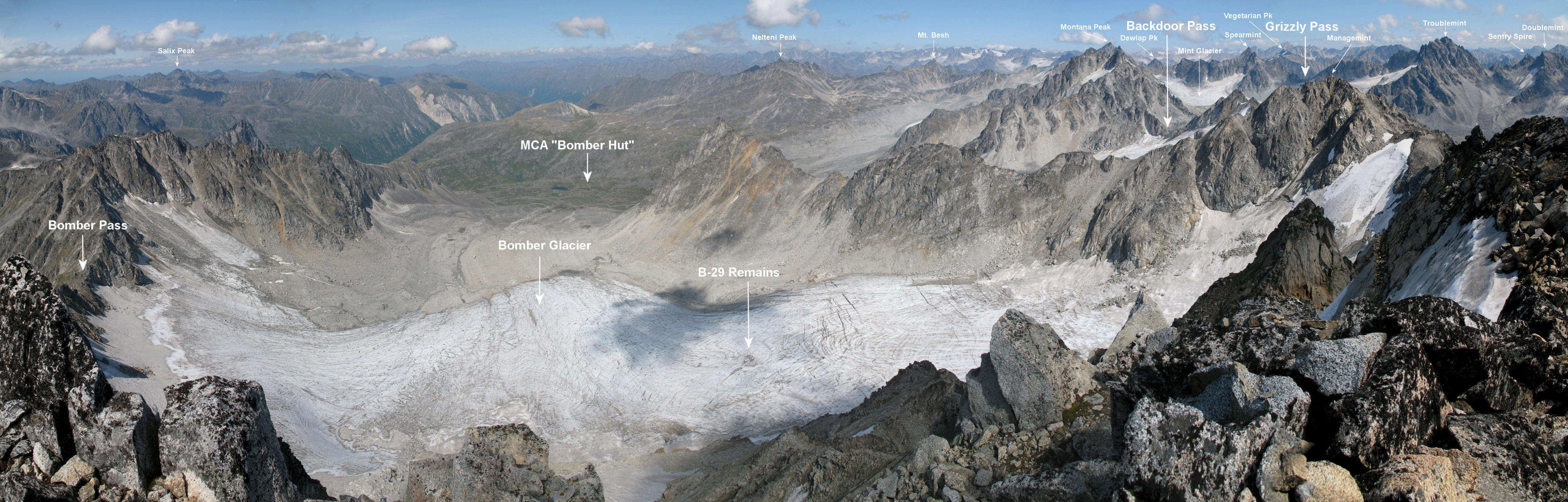
From Galbraith Lake
I hiked to the boundary of the Gates of the Arctic National
Preserve. This area seemed timeless. Totally silent
- no noise from streams, wind, animals, people, trucks or
planes. The valley that leads back to Galbraith Lake is in
the center of the above panoramic picture. |
 |
 |
 |
 |
 |
 |
|
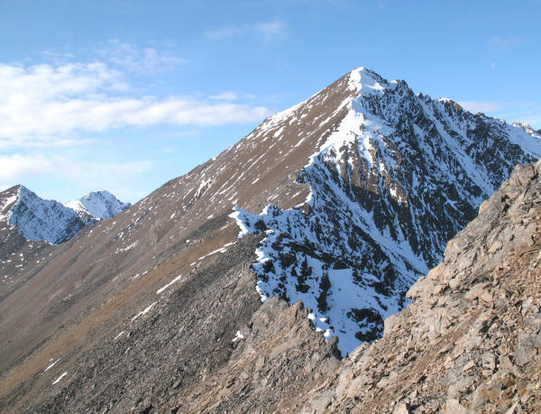
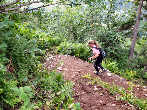
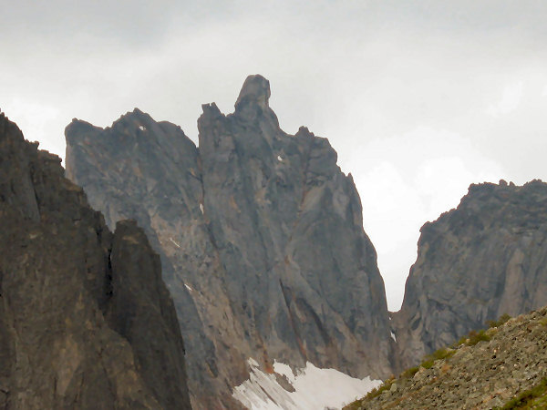
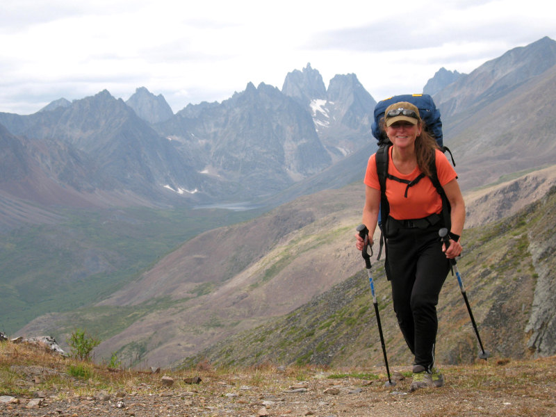
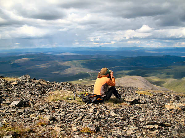
The next day I
attempted to climb a peak north of Atigun Pass on the
Continental Divide. I got within 400 feet of the summit
but turned back because I ran into rock hard crust snow with
quite a bit of exposure and I didn't have my crampons with me.
Arrrrgh. I took the above photo where I turned around.
You can see the highway climbing up the north side of Atigun
Pass in this photo. |
 |
 |
 |
| |
In the above picture
you can see trucks climbing up the north side of Atigun Pass. |
|
 |
|
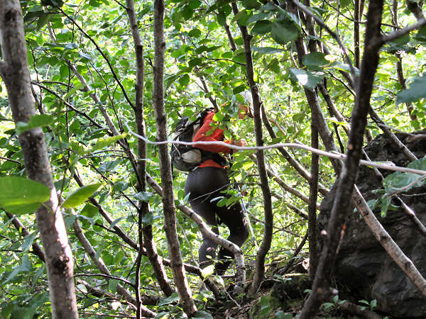
After getting
stymied from summiting a peak earlier in the day, I was
determined to get up a Brooks Range peak on such a nice day.
So I set my sights on James Dalton Mountain, a 7150 foot peak
west of the Atigun pipeline camp site. The red arrows show
where I started and the summit of Jimmy D. |
 |
 |
 |
 |
 |
|
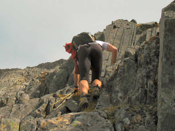
Looking up at the
summit. |
|
On the ridge and
heading for the summit. |
On top, pointing
back to where I started from. |
"Yep, 1700
miles is a long driving commute. But throw in some nice
days of hiking in the Brooks Range and it seems very
worthwhile!" |
 |
|
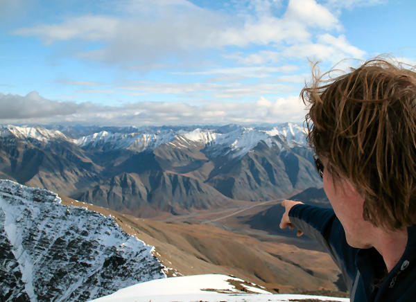
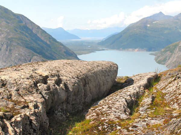
The view from the
summit of James Dalton Mountain. For reference - north is the
direction the footprints lead. |
 |
 |
 |
 |
 |
| |
|
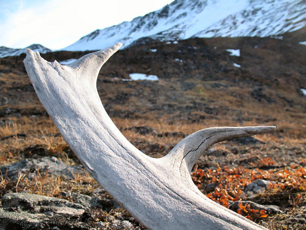
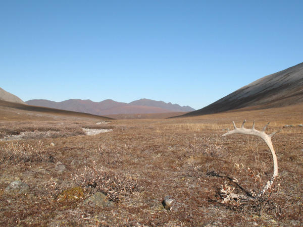
OK - now I've got
enough antler drops to make the moose-caribou antler chandelier
I've been planning for my wife's and my cabin !! |
|
|
 |
|
The Dalton Highway
bridge over the Yukon River. Both vehicles and the Trans
Alaska Pipeline use this bridge to cross the Yukon. |
 |
 |
 |
|
Here is a map for
folks that are not familiar with where the Dalton Highway is. |
To my friends that
work on the North Slope: If you haven't driven to work and think
that driving the Dalton Highway is something you might like to
try ... I encourage you to do it. It's a fun drive through a unique
and very beautiful part of Alaska. I'm sure glad I did it
!! |
Keep on truckin' !! |